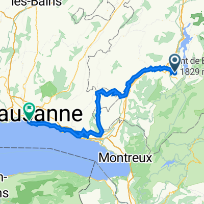
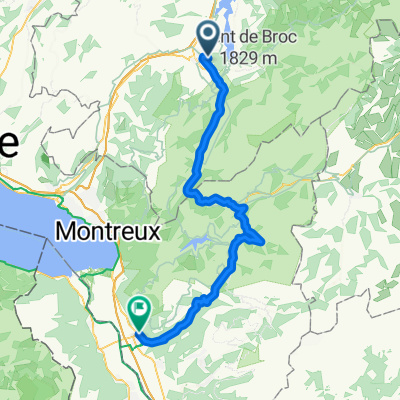
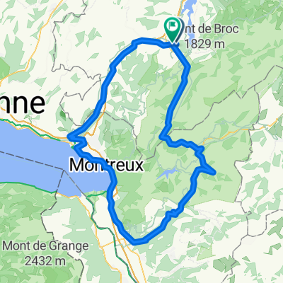
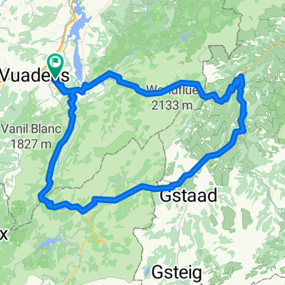
Tous les cols suisses
A cycling route starting in La Tour-de-Trême, Canton of Fribourg, Switzerland.
Overview
About this route
cols
- -:--
- Duration
- 1,472.2 km
- Distance
- 13,765 m
- Ascent
- 14,319 m
- Descent
- ---
- Avg. speed
- ---
- Avg. speed
Route highlights
Points of interest along the route
Point of interest after 27.5 km
Jaunpass (1509 m)
Point of interest after 160.9 km
Grösse Scheideg (1961 m)
Point of interest after 206.9 km
Susten Pass (2264m)
Point of interest after 230.8 km
Col de l'Oberalp (2044m)
Point of interest after 261.3 km
Furka pass (2,436 m)
Point of interest after 285.7 km
Col du Nufenen (2478m)
Point of interest after 285.7 km
Col du Nufenen (2478m)
Point of interest after 306.6 km
Col du Saint-Gothad (2106m)
Point of interest after 387.4 km
Lukmanier Pass (1916m)
Point of interest after 527.1 km
Flüela Pass (2383m)
Point of interest after 618.3 km
Passo di Resia (1504m)
Point of interest after 748.2 km
Timmelsjoch (2509m)
Point of interest after 885.2 km
Fuorn Pass (2149m)
Point of interest after 952.3 km
Passo Stelvio (2757m)
Point of interest after 952.3 km
Umbrail Pass (2501m)
Point of interest after 1,027 km
Passo di Gavia (2621 m)
Point of interest after 1,110.7 km
Bernina Pass (2328 m)
Point of interest after 1,136.1 km
Albula Pass (2315m)
Point of interest after 1,204.7 km
Julier Pass (2284m)
Point of interest after 1,282.8 km
Passo dello Spluga (2114m)
Point of interest after 1,282.8 km
Passo del San Bernardino (2065m)
Continue with Bikemap
Use, edit, or download this cycling route
You would like to ride Tous les cols suisses or customize it for your own trip? Here is what you can do with this Bikemap route:
Free features
- Save this route as favorite or in collections
- Copy & plan your own version of this route
- Split it into stages to create a multi-day tour
- Sync your route with Garmin or Wahoo
Premium features
Free trial for 3 days, or one-time payment. More about Bikemap Premium.
- Navigate this route on iOS & Android
- Export a GPX / KML file of this route
- Create your custom printout (try it for free)
- Download this route for offline navigation
Discover more Premium features.
Get Bikemap PremiumFrom our community
Other popular routes starting in La Tour-de-Trême
- Bulle to Châtel
- Distance
- 23.7 km
- Ascent
- 751 m
- Descent
- 703 m
- Location
- La Tour-de-Trême, Canton of Fribourg, Switzerland
- Gruyere Cycling Tour
- Distance
- 120.3 km
- Ascent
- 1,854 m
- Descent
- 1,823 m
- Location
- La Tour-de-Trême, Canton of Fribourg, Switzerland
- Bulle Jaun Saanen Gsteig Diablerets Aigle
- Distance
- 85.8 km
- Ascent
- 0 m
- Descent
- 0 m
- Location
- La Tour-de-Trême, Canton of Fribourg, Switzerland
- Bulle Gastlosen Hongrin Aigle
- Distance
- 96.1 km
- Ascent
- 1,776 m
- Descent
- 2,116 m
- Location
- La Tour-de-Trême, Canton of Fribourg, Switzerland
- Bulle-Aigle-Bulle_215km
- Distance
- 215.3 km
- Ascent
- 3,945 m
- Descent
- 3,945 m
- Location
- La Tour-de-Trême, Canton of Fribourg, Switzerland
- 09 Aigle
- Distance
- 59.1 km
- Ascent
- 799 m
- Descent
- 1,154 m
- Location
- La Tour-de-Trême, Canton of Fribourg, Switzerland
- 2016_tt_e8
- Distance
- 59.2 km
- Ascent
- 799 m
- Descent
- 1,154 m
- Location
- La Tour-de-Trême, Canton of Fribourg, Switzerland
- Semsales
- Distance
- 18.3 km
- Ascent
- 0 m
- Descent
- 0 m
- Location
- La Tour-de-Trême, Canton of Fribourg, Switzerland
Open it in the app