Sugiez-Aeschi-90km-1190Hm
- 91.5 km
- 1,375 m
- 956 m
- Bas-Vully, Canton of Fribourg, Switzerland
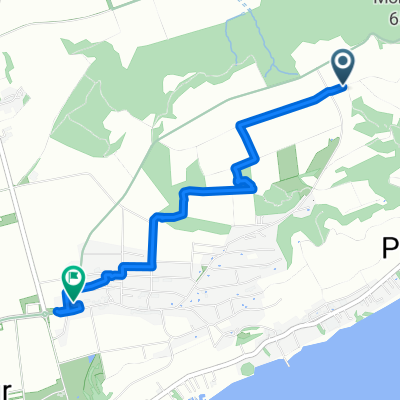
A cycling route starting in Bas-Vully, Canton of Fribourg, Switzerland.
Overview
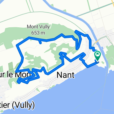
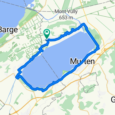
Around Frienisberg. Kerzers - Golaten - Mühleberg dam - Illiswil - Meikirch - Schüpberg - Schüpfen - Frienisberg - Frieswil - Oltigen - Niederried dam - Kerzers
created this 3 years ago
Route quality
Quiet road
32.1 km
(55 %)
Road
13.4 km
(23 %)
Paved
31.5 km
(54 %)
Unpaved
4.1 km
(7 %)
Asphalt
28.6 km
(49 %)
Gravel
4.1 km
(7 %)
Continue with Bikemap
You would like to ride Veloerlebnis_Nr_17 or customize it for your own trip? Here is what you can do with this Bikemap route:
Free trial for 3 days, or one-time payment. More about Bikemap Premium.
Discover more Premium features.
Get Bikemap PremiumFrom our community
Open it in the app