

Skitour: Auf den Hählekopf - Skitour: Auf den Hählekopf
A cycling route starting in Mittelberg, Vorarlberg, Austria.
Overview
About this route
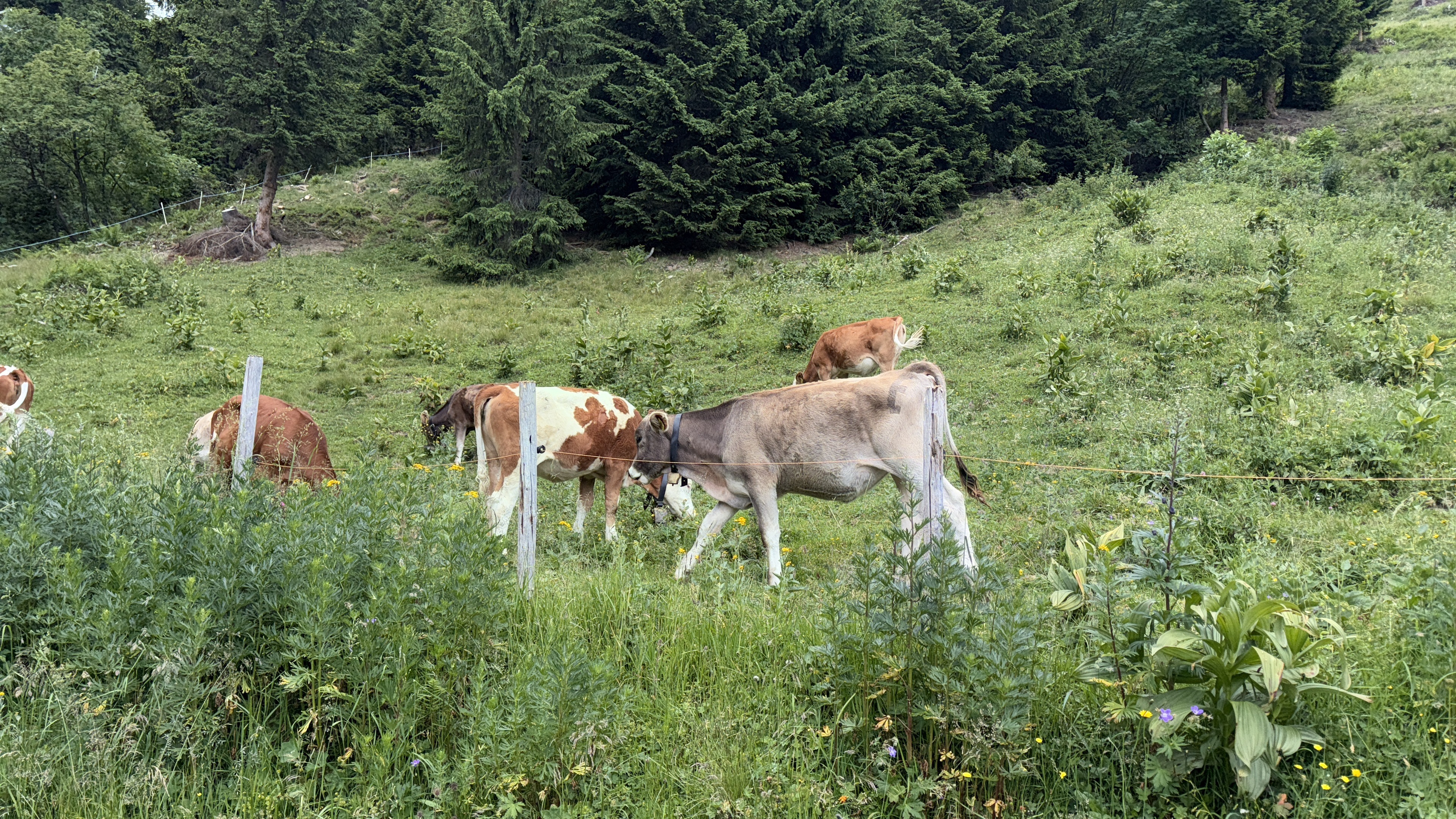
A natural experience for experienced mountain bikers in the Schwarzwasser Valley with a route fully in the spirit of 'conscious nature experience'.
- -:--
- Duration
- 13.2 km
- Distance
- 820 m
- Ascent
- 820 m
- Descent
- ---
- Avg. speed
- 2,057 m
- Max. altitude
Continue with Bikemap
Use, edit, or download this cycling route
You would like to ride Skitour: Auf den Hählekopf - Skitour: Auf den Hählekopf or customize it for your own trip? Here is what you can do with this Bikemap route:
Free features
- Save this route as favorite or in collections
- Copy & plan your own version of this route
- Sync your route with Garmin or Wahoo
Premium features
Free trial for 3 days, or one-time payment. More about Bikemap Premium.
- Navigate this route on iOS & Android
- Export a GPX / KML file of this route
- Create your custom printout (try it for free)
- Download this route for offline navigation
Discover more Premium features.
Get Bikemap PremiumFrom our community
Other popular routes starting in Mittelberg
 Strecke Mittelberg Oberstdorf
- Distance
- 18.4 km
- Ascent
- 213 m
- Descent
- 508 m
- Location
- Mittelberg, Vorarlberg, Austria
 Große Runde durchs Kl. Walsertal
- Distance
- 45.1 km
- Ascent
- 1,105 m
- Descent
- 1,106 m
- Location
- Mittelberg, Vorarlberg, Austria
 Slightly shorter hike in Hirschegg
- Distance
- 16.8 km
- Ascent
- 956 m
- Descent
- 960 m
- Location
- Mittelberg, Vorarlberg, Austria
 Söllerhaus-Runde
- Distance
- 97.4 km
- Ascent
- 1,230 m
- Descent
- 1,230 m
- Location
- Mittelberg, Vorarlberg, Austria
 Skitour: Auf den Hählekopf - Skitour: Auf den Hählekopf
- Distance
- 13.2 km
- Ascent
- 820 m
- Descent
- 820 m
- Location
- Mittelberg, Vorarlberg, Austria
 Anlehnung: Route 8 MTB - Kleinwalsertal
- Distance
- 25.7 km
- Ascent
- 798 m
- Descent
- 798 m
- Location
- Mittelberg, Vorarlberg, Austria
 Skitour: Von Baad auf den Gamsfuß - Skitour: Von Baad auf den Gamsfuß
- Distance
- 10.3 km
- Ascent
- 908 m
- Descent
- 906 m
- Location
- Mittelberg, Vorarlberg, Austria
 Walmendingerhorn, Mittelberg až Mösleweg, Mittelberg
- Distance
- 10.5 km
- Ascent
- 104 m
- Descent
- 743 m
- Location
- Mittelberg, Vorarlberg, Austria
Open it in the app