


szlak konny kielczow
- 33.1 km
- 116 m
- 115 m
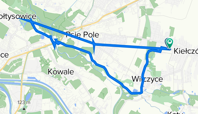
- Kiełczów, Lower Silesian Voivodeship, Poland
A cycling route starting in Kiełczów, Lower Silesian Voivodeship, Poland.
Overview
created this 3 years ago
Route quality
Track
6.3 km
(39 %)
Path
2.8 km
(17 %)
Paved
6.3 km
(39 %)
Unpaved
7.5 km
(46 %)
Asphalt
6.2 km
(38 %)
Gravel
6.2 km
(38 %)
Continue with Bikemap
You would like to ride Agrestowa 20C, Długołęka do Agrestowa 14, Długołęka or customize it for your own trip? Here is what you can do with this Bikemap route:
Free trial for 3 days, or one-time payment. More about Bikemap Premium.
Discover more Premium features.
Get Bikemap PremiumFrom our community
Open it in the app
![[Dzieci] Brzezia łąka - Ligota Mała - Chrząstawa](https://media.bikemap.net/routes/2882287/staticmaps/in_7a306098-18bc-4283-b86b-24904567f8f2_400x400_bikemap-2021-3D-static.png)


