
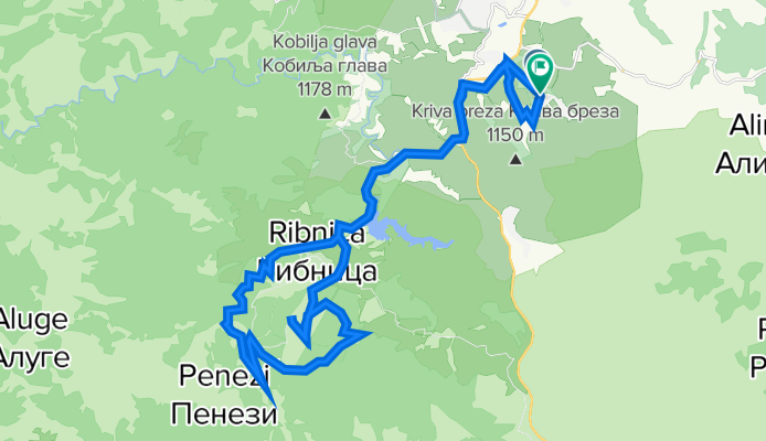
Zlatibor vrh smučišča
A cycling route starting in Čajetina, Central Serbia, Serbia.
Overview
About this route
- -:--
- Duration
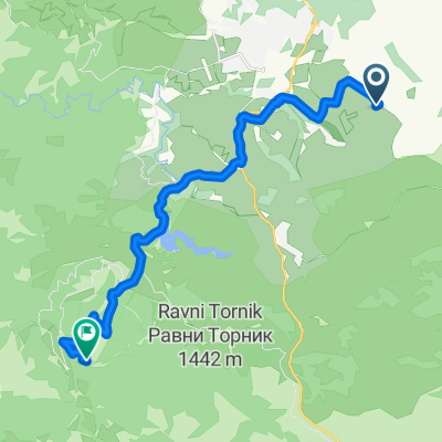
- 35.4 km
- Distance
- 950 m
- Ascent
- 939 m
- Descent
- ---
- Avg. speed
- 1,477 m
- Max. altitude

Route quality
Waytypes & surfaces along the route
Waytypes
Quiet road
11.3 km
(32 %)
Road
9.9 km
(28 %)
Surfaces
Paved
22.7 km
(64 %)
Unpaved
10.3 km
(29 %)
Asphalt
22.7 km
(64 %)
Ground
5.3 km
(15 %)
Continue with Bikemap
Use, edit, or download this cycling route
You would like to ride Zlatibor vrh smučišča or customize it for your own trip? Here is what you can do with this Bikemap route:
Free features
- Save this route as favorite or in collections
- Copy & plan your own version of this route
- Sync your route with Garmin or Wahoo
Premium features
Free trial for 3 days, or one-time payment. More about Bikemap Premium.
- Navigate this route on iOS & Android
- Export a GPX / KML file of this route
- Create your custom printout (try it for free)
- Download this route for offline navigation
Discover more Premium features.
Get Bikemap PremiumFrom our community
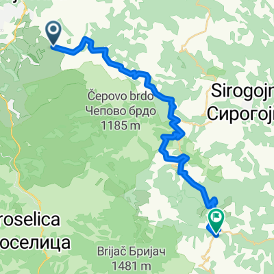
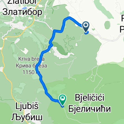
Other popular routes starting in Čajetina
 Велански гај, Чајетина nach Георгија Цмиљанића, Чајетина
- Distance
- 29.3 km
- Ascent
- 1,165 m
- Descent
- 1,303 m
- Location
- Čajetina, Central Serbia, Serbia
 Велански гај, Чајетина nach Ljubiš, Чајетина
- Distance
- 6.8 km
- Ascent
- 422 m
- Descent
- 84 m
- Location
- Čajetina, Central Serbia, Serbia
 Zlatibor vrh smučišča
- Distance
- 35.4 km
- Ascent
- 950 m
- Descent
- 939 m
- Location
- Čajetina, Central Serbia, Serbia
 Mokra Gora 1
- Distance
- 96.2 km
- Ascent
- 2,309 m
- Descent
- 2,309 m
- Location
- Čajetina, Central Serbia, Serbia
 Zlatibor 1
- Distance
- 140.4 km
- Ascent
- 2,230 m
- Descent
- 2,230 m
- Location
- Čajetina, Central Serbia, Serbia
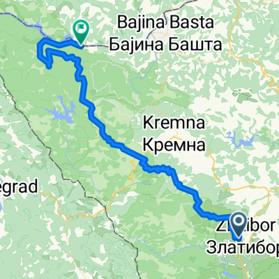 Zur Drina
- Distance
- 69.4 km
- Ascent
- 1,523 m
- Descent
- 2,253 m
- Location
- Čajetina, Central Serbia, Serbia
 Велански гај, Чајетина nach Jablanica, Чајетина
- Distance
- 18.2 km
- Ascent
- 842 m
- Descent
- 371 m
- Location
- Čajetina, Central Serbia, Serbia
 Zlatibor1
- Distance
- 64.8 km
- Ascent
- 1,423 m
- Descent
- 1,416 m
- Location
- Čajetina, Central Serbia, Serbia
Open it in the app