

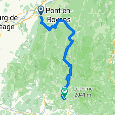
Etapa 082B (Saint Nazaire en Royans - Le Bourg d'Oisans)
A cycling route starting in Saint-Just-de-Claix, Auvergne-Rhône-Alpes, France.
Overview
About this route
Western Europe Tour. Stage 82
Saint Nazaire en Royans - La Sône - Saint Romans - Beaulieu - Grenoble - Eybens - Brié et Angonnes - Vizille - Séchilienne - Livet et Gavet - Le Bourg d'Oisans - La Garde - Alpe d'Huez - Le Bourg d'Oisans
151.4 km
2340 m total elevation gain
- -:--
- Duration
- 151.4 km
- Distance
- 2,783 m
- Ascent
- 2,226 m
- Descent
- ---
- Avg. speed
- 1,851 m
- Max. altitude

Route quality
Waytypes & surfaces along the route
Waytypes
Path
33.3 km
(22 %)
Quiet road
28.8 km
(19 %)
Surfaces
Paved
130.2 km
(86 %)
Asphalt
130.2 km
(86 %)
Undefined
21.2 km
(14 %)
Route highlights
Points of interest along the route
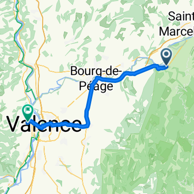
Point of interest after 69.4 km
Place Victor Hugo
Point of interest after 69.8 km
Place Grenette
Point of interest after 70.1 km
Palais du Parlement du Dauphiné
Point of interest after 70.4 km
Cathédrale Notre-Dame
Point of interest after 88.7 km
Château de Vizille
Continue with Bikemap
Use, edit, or download this cycling route
You would like to ride Etapa 082B (Saint Nazaire en Royans - Le Bourg d'Oisans) or customize it for your own trip? Here is what you can do with this Bikemap route:
Free features
- Save this route as favorite or in collections
- Copy & plan your own version of this route
- Split it into stages to create a multi-day tour
- Sync your route with Garmin or Wahoo
Premium features
Free trial for 3 days, or one-time payment. More about Bikemap Premium.
- Navigate this route on iOS & Android
- Export a GPX / KML file of this route
- Create your custom printout (try it for free)
- Download this route for offline navigation
Discover more Premium features.
Get Bikemap PremiumFrom our community
Other popular routes starting in Saint-Just-de-Claix
 1 Vercors/Drome St Nazaire
- Distance
- 64.5 km
- Ascent
- 1,445 m
- Descent
- 1,443 m
- Location
- Saint-Just-de-Claix, Auvergne-Rhône-Alpes, France
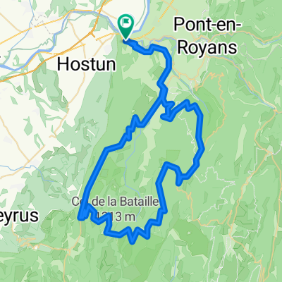 Combe Laval - Bataille
- Distance
- 79.4 km
- Ascent
- 2,424 m
- Descent
- 2,373 m
- Location
- Saint-Just-de-Claix, Auvergne-Rhône-Alpes, France
 St.Jean - Choranche - St.Andre
- Distance
- 50.7 km
- Ascent
- 524 m
- Descent
- 524 m
- Location
- Saint-Just-de-Claix, Auvergne-Rhône-Alpes, France
 tour de l`avenir stage 5 itt
- Distance
- 29.8 km
- Ascent
- 393 m
- Descent
- 276 m
- Location
- Saint-Just-de-Claix, Auvergne-Rhône-Alpes, France
 St Nazaire < Die 74km
- Distance
- 74.1 km
- Ascent
- 1,570 m
- Descent
- 1,333 m
- Location
- Saint-Just-de-Claix, Auvergne-Rhône-Alpes, France
 Saint-Just-de-Claix - Saint-Péray
- Distance
- 48.1 km
- Ascent
- 57 m
- Descent
- 91 m
- Location
- Saint-Just-de-Claix, Auvergne-Rhône-Alpes, France
 Basel - Nice, Tag 11 (St. Nazaire - Grane)
- Distance
- 59.6 km
- Ascent
- 527 m
- Descent
- 531 m
- Location
- Saint-Just-de-Claix, Auvergne-Rhône-Alpes, France
 Etapa 082B (Saint Nazaire en Royans - Le Bourg d'Oisans)
- Distance
- 151.4 km
- Ascent
- 2,783 m
- Descent
- 2,226 m
- Location
- Saint-Just-de-Claix, Auvergne-Rhône-Alpes, France
Open it in the app