

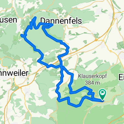
Eiswoog - Japanischer Garten - Eiswoog
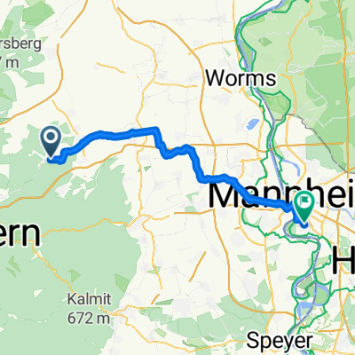
A cycling route starting in Ramsen, Rhineland-Palatinate, Germany.
Overview
About this route
Stop: Pfälzer Dampfnudelhof, Mehlingen
- -:--
- Duration
- 51.7 km
- Distance
- 624 m
- Ascent
- 624 m
- Descent
- ---
- Avg. speed
- 358 m
- Max. altitude
Route quality
Waytypes & surfaces along the route
Waytypes
Track
13.4 km
(26 %)
Path
12.9 km
(25 %)
Surfaces
Paved
27.9 km
(54 %)
Unpaved
15 km
(29 %)
Asphalt
27.4 km
(53 %)
Gravel
8.8 km
(17 %)
Continue with Bikemap
Use, edit, or download this cycling route
You would like to ride Eiswoog - Japanischer Garten - Eiswoog or customize it for your own trip? Here is what you can do with this Bikemap route:
Free features
- Save this route as favorite or in collections
- Copy & plan your own version of this route
- Sync your route with Garmin or Wahoo
Premium features
Free trial for 3 days, or one-time payment. More about Bikemap Premium.
- Navigate this route on iOS & Android
- Export a GPX / KML file of this route
- Create your custom printout (try it for free)
- Download this route for offline navigation
Discover more Premium features.
Get Bikemap PremiumFrom our community
Other popular routes starting in Ramsen
 Eisenberg - Altrip
- Distance
- 48.9 km
- Ascent
- 307 m
- Descent
- 436 m
- Location
- Ramsen, Rhineland-Palatinate, Germany
 Eiswoog nach Ramsen
- Distance
- 9.6 km
- Ascent
- 213 m
- Descent
- 231 m
- Location
- Ramsen, Rhineland-Palatinate, Germany
 ZARM 2026 2. Tag 2. Variante
- Distance
- 76.7 km
- Ascent
- 838 m
- Descent
- 823 m
- Location
- Ramsen, Rhineland-Palatinate, Germany
 mit Kai von Ramsen zur Eiswoog und dann nach FT
- Distance
- 43.7 km
- Ascent
- 259 m
- Descent
- 401 m
- Location
- Ramsen, Rhineland-Palatinate, Germany
 DONNERSBERG
- Distance
- 49.5 km
- Ascent
- 893 m
- Descent
- 893 m
- Location
- Ramsen, Rhineland-Palatinate, Germany
 M-Radeln Eiswoog über Bockbachtal
- Distance
- 9.7 km
- Ascent
- 168 m
- Descent
- 163 m
- Location
- Ramsen, Rhineland-Palatinate, Germany
 25-MRZ-12 02:30:59 PM
- Distance
- 11.1 km
- Ascent
- 197 m
- Descent
- 199 m
- Location
- Ramsen, Rhineland-Palatinate, Germany
 Hauptstraße, Ramsen nach Leininger Pfad, Mertesheim
- Distance
- 9.1 km
- Ascent
- 50 m
- Descent
- 74 m
- Location
- Ramsen, Rhineland-Palatinate, Germany
Open it in the app