

Wolica 24–26, Łapanów do Wolica 24–26, Łapanów
A cycling route starting in Łapanów, Lesser Poland Voivodeship, Poland.
Overview
About this route
- 2 h 19 min
- Duration
- 32.7 km
- Distance
- 410 m
- Ascent
- 410 m
- Descent
- 14.1 km/h
- Avg. speed
- 350 m
- Max. altitude
Route quality
Waytypes & surfaces along the route
Waytypes
Quiet road
18.2 km
(56 %)
Road
8.7 km
(26 %)
Surfaces
Paved
19.1 km
(58 %)
Unpaved
2.1 km
(6 %)
Asphalt
18.6 km
(57 %)
Gravel
1.1 km
(3 %)
Continue with Bikemap
Use, edit, or download this cycling route
You would like to ride Wolica 24–26, Łapanów do Wolica 24–26, Łapanów or customize it for your own trip? Here is what you can do with this Bikemap route:
Free features
- Save this route as favorite or in collections
- Copy & plan your own version of this route
- Sync your route with Garmin or Wahoo
Premium features
Free trial for 3 days, or one-time payment. More about Bikemap Premium.
- Navigate this route on iOS & Android
- Export a GPX / KML file of this route
- Create your custom printout (try it for free)
- Download this route for offline navigation
Discover more Premium features.
Get Bikemap PremiumFrom our community
Other popular routes starting in Łapanów
 Łapanów -Ostra-Rydz-Łapanów
- Distance
- 92.9 km
- Ascent
- 1,307 m
- Descent
- 1,301 m
- Location
- Łapanów, Lesser Poland Voivodeship, Poland
 Dolina Raby
- Distance
- 15 km
- Ascent
- 30 m
- Descent
- 29 m
- Location
- Łapanów, Lesser Poland Voivodeship, Poland
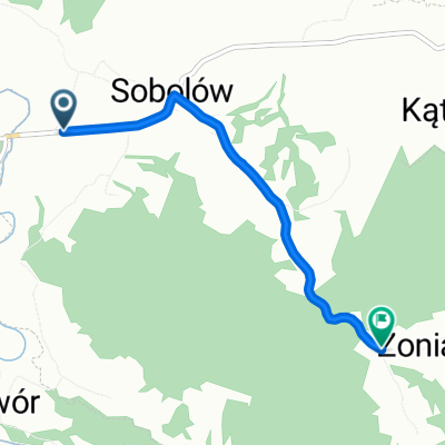 Zonia od Sobolowa
- Distance
- 3.1 km
- Ascent
- 196 m
- Descent
- 12 m
- Location
- Łapanów, Lesser Poland Voivodeship, Poland
![[PLAN] Romańskie pozostałości - Małopolski](https://media.bikemap.net/routes/6395085/staticmaps/in_80cc91d8-88d4-486b-880a-643ac3fa8553_400x400_bikemap-2021-3D-static.png) [PLAN] Romańskie pozostałości - Małopolski
[PLAN] Romańskie pozostałości - Małopolski- Distance
- 175.4 km
- Ascent
- 452 m
- Descent
- 448 m
- Location
- Łapanów, Lesser Poland Voivodeship, Poland
 Easy, short, quite hilly
- Distance
- 17.8 km
- Ascent
- 242 m
- Descent
- 241 m
- Location
- Łapanów, Lesser Poland Voivodeship, Poland
 Zagórzany 141, Gdów do Zagórzany 141, Gdów
- Distance
- 51.4 km
- Ascent
- 1,057 m
- Descent
- 1,056 m
- Location
- Łapanów, Lesser Poland Voivodeship, Poland
 R11b Łapanów - Sułków
- Distance
- 26.7 km
- Ascent
- 351 m
- Descent
- 302 m
- Location
- Łapanów, Lesser Poland Voivodeship, Poland
![[TR] Sobolowskie Pagórki - nad Rabe](https://media.bikemap.net/routes/6326925/staticmaps/in_47ef2db7-7e04-483a-a274-64ee947c987a_400x400_bikemap-2021-3D-static.png) [TR] Sobolowskie Pagórki - nad Rabe
[TR] Sobolowskie Pagórki - nad Rabe- Distance
- 18.9 km
- Ascent
- 331 m
- Descent
- 331 m
- Location
- Łapanów, Lesser Poland Voivodeship, Poland
Open it in the app