

Ardèche 7
A cycling route starting in Saint-Sernin, Auvergne-Rhône-Alpes, France.
Overview
About this route
- -:--
- Duration
- 105 km
- Distance
- 479 m
- Ascent
- 458 m
- Descent
- ---
- Avg. speed
- ---
- Max. altitude
Route quality
Waytypes & surfaces along the route
Waytypes
Road
25.2 km
(24 %)
Quiet road
9.5 km
(9 %)
Surfaces
Paved
70.4 km
(67 %)
Unpaved
5.3 km
(5 %)
Asphalt
69.3 km
(66 %)
Gravel
3.2 km
(3 %)
Continue with Bikemap
Use, edit, or download this cycling route
You would like to ride Ardèche 7 or customize it for your own trip? Here is what you can do with this Bikemap route:
Free features
- Save this route as favorite or in collections
- Copy & plan your own version of this route
- Split it into stages to create a multi-day tour
- Sync your route with Garmin or Wahoo
Premium features
Free trial for 3 days, or one-time payment. More about Bikemap Premium.
- Navigate this route on iOS & Android
- Export a GPX / KML file of this route
- Create your custom printout (try it for free)
- Download this route for offline navigation
Discover more Premium features.
Get Bikemap PremiumFrom our community
Other popular routes starting in Saint-Sernin
 137 Chemin de la Brugere, Saint-Sernin à 119 Chemin de Ste-Croix, Aubenas
- Distance
- 8.5 km
- Ascent
- 68 m
- Descent
- 69 m
- Location
- Saint-Sernin, Auvergne-Rhône-Alpes, France
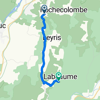 Route de Lagorce, Rochecolombe nach Lagorce
- Distance
- 7 km
- Ascent
- 207 m
- Descent
- 162 m
- Location
- Saint-Sernin, Auvergne-Rhône-Alpes, France
 Itinéraire facile en
- Distance
- 10.2 km
- Ascent
- 77 m
- Descent
- 79 m
- Location
- Saint-Sernin, Auvergne-Rhône-Alpes, France
 vogue1
- Distance
- 65.6 km
- Ascent
- 943 m
- Descent
- 940 m
- Location
- Saint-Sernin, Auvergne-Rhône-Alpes, France
 185 Montée de Barès, Lanas à 1–11 Chemin du Retourtier, Balazuc
- Distance
- 6.1 km
- Ascent
- 62 m
- Descent
- 46 m
- Location
- Saint-Sernin, Auvergne-Rhône-Alpes, France
 Ardèche 7
- Distance
- 105 km
- Ascent
- 479 m
- Descent
- 458 m
- Location
- Saint-Sernin, Auvergne-Rhône-Alpes, France
 via ardéchoise
- Distance
- 28 km
- Ascent
- 357 m
- Descent
- 517 m
- Location
- Saint-Sernin, Auvergne-Rhône-Alpes, France
 Rue des Écoles, Saint-Sernin nach 60 Chemin des Guiniberts, Mirabel
- Distance
- 19.8 km
- Ascent
- 498 m
- Descent
- 693 m
- Location
- Saint-Sernin, Auvergne-Rhône-Alpes, France
Open it in the app