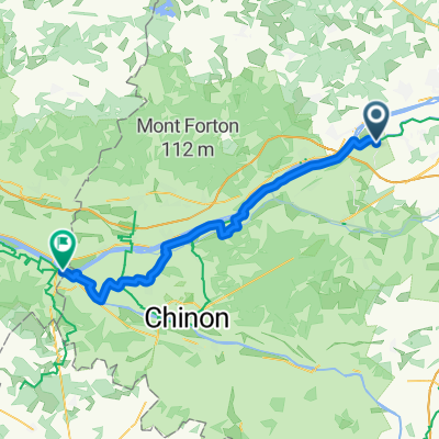
Villandry_Azay_Usse_Langeais
A cycling route starting in Villandry, Centre-Val de Loire, France.
Overview
About this route
- -:--
- Duration
- 62.4 km
- Distance
- 236 m
- Ascent
- 236 m
- Descent
- ---
- Avg. speed
- 97 m
- Max. altitude
Route quality
Waytypes & surfaces along the route
Waytypes
- Road - 30.6 km - (49 %) 
- Quiet road - 8.7 km - (14 %) 
Surfaces
Paved
33.1 km
(53 %)
Unpaved
6.2 km
(10 %)
- Asphalt - 31.8 km - (51 %) 
- Gravel - 3.1 km - (5 %) 
Continue with Bikemap
Use, edit, or download this cycling route
You would like to ride Villandry_Azay_Usse_Langeais or customize it for your own trip? Here is what you can do with this Bikemap route:
Free features
- Save this route as favorite or in collections
- Copy & plan your own version of this route
- Sync your route with Garmin or Wahoo
Premium features
Free trial for 3 days, or one-time payment. More about Bikemap Premium.
- Navigate this route on iOS & Android
- Export a GPX / KML file of this route
- Create your custom printout (try it for free)
- Download this route for offline navigation
Discover more Premium features.
Get Bikemap PremiumFrom our community
Other popular routes starting in Villandry
 bike tour from 31 sierpnia, 13:32 bike tour from 31 sierpnia, 13:32- Distance
- 14.3 km
- Ascent
- 96 m
- Descent
- 96 m
- Location
- Villandry, Centre-Val de Loire, France
 
 RUTERO DE LA SEGUNDA ETAPA RUTERO DE LA SEGUNDA ETAPA- Distance
- 164.7 km
- Ascent
- 154 m
- Descent
- 151 m
- Location
- Villandry, Centre-Val de Loire, France
 
 Villandry (colombien) - Chinon (agnes sorel) Villandry (colombien) - Chinon (agnes sorel)- Distance
- 48.5 km
- Ascent
- 209 m
- Descent
- 222 m
- Location
- Villandry, Centre-Val de Loire, France
 
 Tag 5 Loire GPS-Track Tag 5 Loire GPS-Track- Distance
- 52.3 km
- Ascent
- 348 m
- Descent
- 309 m
- Location
- Villandry, Centre-Val de Loire, France
 
 Villandry (haut des lys) - Montsoreau (bussy) Villandry (haut des lys) - Montsoreau (bussy)- Distance
- 49.7 km
- Ascent
- 45 m
- Descent
- 45 m
- Location
- Villandry, Centre-Val de Loire, France
 
 Villandry - Chinon Villandry - Chinon- Distance
- 45.9 km
- Ascent
- 158 m
- Descent
- 202 m
- Location
- Villandry, Centre-Val de Loire, France
 
 boucle villandry boucle villandry- Distance
- 19.6 km
- Ascent
- 31 m
- Descent
- 29 m
- Location
- Villandry, Centre-Val de Loire, France
 
 9km moulinet 9km moulinet- Distance
- 8.1 km
- Ascent
- 308 m
- Descent
- 304 m
- Location
- Villandry, Centre-Val de Loire, France
 
Open it in the app


