

francie 10
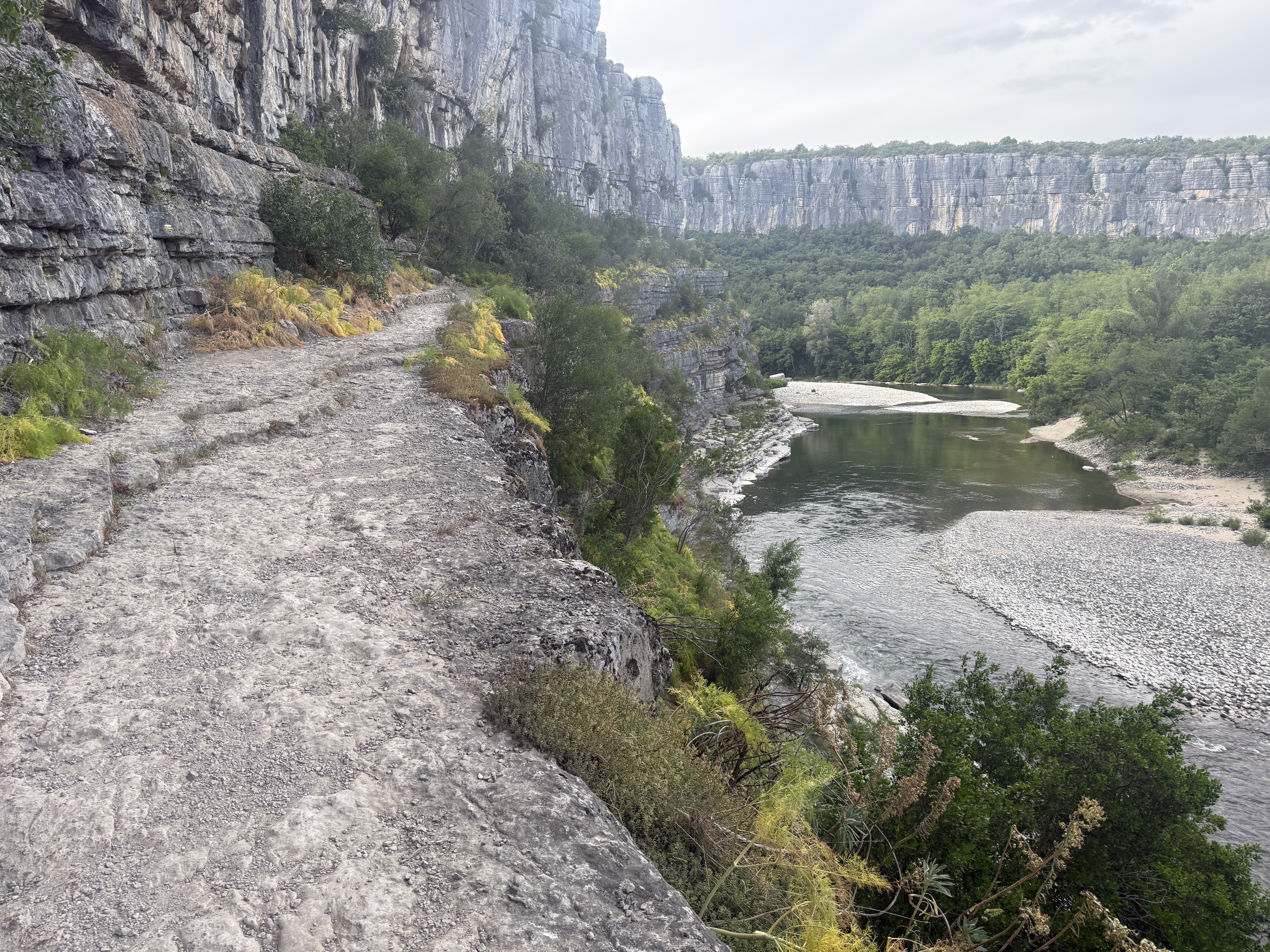
A cycling route starting in Ruoms, Auvergne-Rhône-Alpes, France.
Overview
About this route
Čím více zde napíšete informací, tím více bude užitečnější pro ostatním uživatele.<br /><br />* Průběh trasy.<br />* Co je zvláštní na této trase?<br />* Proč doporučit tuto trasu?<br />* Co se Vám zde nejvíce líbilo?<br />* Atd.
- -:--
- Duration
- 96.6 km
- Distance
- 784 m
- Ascent
- 783 m
- Descent
- ---
- Avg. speed
- ---
- Max. altitude
Route quality
Waytypes & surfaces along the route
Waytypes
Road
13.5 km
(14 %)
Quiet road
13.5 km
(14 %)
Surfaces
Paved
44.4 km
(46 %)
Asphalt
44.4 km
(46 %)
Undefined
52.1 km
(54 %)
Continue with Bikemap
Use, edit, or download this cycling route
You would like to ride francie 10 or customize it for your own trip? Here is what you can do with this Bikemap route:
Free features
- Save this route as favorite or in collections
- Copy & plan your own version of this route
- Split it into stages to create a multi-day tour
- Sync your route with Garmin or Wahoo
Premium features
Free trial for 3 days, or one-time payment. More about Bikemap Premium.
- Navigate this route on iOS & Android
- Export a GPX / KML file of this route
- Create your custom printout (try it for free)
- Download this route for offline navigation
Discover more Premium features.
Get Bikemap PremiumFrom our community
Other popular routes starting in Ruoms
 vallon7
- Distance
- 66.2 km
- Ascent
- 612 m
- Descent
- 627 m
- Location
- Ruoms, Auvergne-Rhône-Alpes, France
 Virac - Barjac dh
- Distance
- 36.4 km
- Ascent
- 508 m
- Descent
- 514 m
- Location
- Ruoms, Auvergne-Rhône-Alpes, France
 frr_ardeche_vpd_110km
- Distance
- 110.9 km
- Ascent
- 871 m
- Descent
- 867 m
- Location
- Ruoms, Auvergne-Rhône-Alpes, France
 Chemin de Faussimagne, Chauzon nach Chemin de Faussimagne, Chauzon
- Distance
- 29.1 km
- Ascent
- 269 m
- Descent
- 271 m
- Location
- Ruoms, Auvergne-Rhône-Alpes, France
 Chemin de Sevenier, Lagorce naar Chemin de Sevenier, Lagorce
- Distance
- 37.5 km
- Ascent
- 559 m
- Descent
- 558 m
- Location
- Ruoms, Auvergne-Rhône-Alpes, France
 largorce vallon
- Distance
- 24.7 km
- Ascent
- 1,155 m
- Descent
- 1,168 m
- Location
- Ruoms, Auvergne-Rhône-Alpes, France
 Balazuc-LaPont
- Distance
- 16.9 km
- Ascent
- 230 m
- Descent
- 229 m
- Location
- Ruoms, Auvergne-Rhône-Alpes, France
 Ardeche Runde
- Distance
- 47.6 km
- Ascent
- 1,102 m
- Descent
- 1,003 m
- Location
- Ruoms, Auvergne-Rhône-Alpes, France
Open it in the app