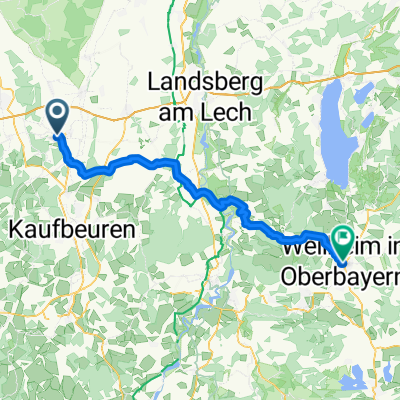
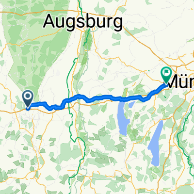
König Ludwig Classic
A cycling route starting in Bad Wörishofen, Bavaria, Germany.
Overview
About this route
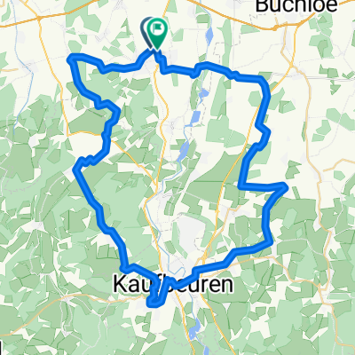
Bad Wörishofen - Schlingen - Rieden - Untergermaringen -
Obergermaringen - Mauerstetten - Dampflokradweg nach Helmishofen bis Anstieg Stocken - Sachsenried - Ingenried - Burggen - Lechbruck - Via Claudia - Forggenseeradweg - Schwangau (Steiger) - Füssen - Roßhaupten - Dampflokradweg - Rieder/Heiland - Bertoldshofen - Bießenhofen - Kaufbeuren - Haken - Pforzen - Ingenried - Irpisdorf - Schlingen - Bad Wörishofen
- -:--
- Duration
- 138.3 km
- Distance
- 484 m
- Ascent
- 486 m
- Descent
- ---
- Avg. speed
- ---
- Avg. speed
Route quality
Waytypes & surfaces along the route
Waytypes
Quiet road
58.2 km
(42 %)
Path
31.3 km
(23 %)
Surfaces
Paved
112 km
(81 %)
Unpaved
0.6 km
(<1 %)
Asphalt
101.9 km
(74 %)
Paved (undefined)
8.8 km
(6 %)
Continue with Bikemap
Use, edit, or download this cycling route
You would like to ride König Ludwig Classic or customize it for your own trip? Here is what you can do with this Bikemap route:
Free features
- Save this route as favorite or in collections
- Copy & plan your own version of this route
- Sync your route with Garmin or Wahoo
Premium features
Free trial for 3 days, or one-time payment. More about Bikemap Premium.
- Navigate this route on iOS & Android
- Export a GPX / KML file of this route
- Create your custom printout (try it for free)
- Download this route for offline navigation
Discover more Premium features.
Get Bikemap PremiumFrom our community
Other popular routes starting in Bad Wörishofen
- Kirchheim
- Distance
- 60.7 km
- Ascent
- 211 m
- Descent
- 213 m
- Location
- Bad Wörishofen, Bavaria, Germany
- Bad Wörishofen-Pfaffenhausen
- Distance
- 60.6 km
- Ascent
- 360 m
- Descent
- 361 m
- Location
- Bad Wörishofen, Bavaria, Germany
- Landsberg am Lech
- Distance
- 49.8 km
- Ascent
- 263 m
- Descent
- 263 m
- Location
- Bad Wörishofen, Bavaria, Germany
- Holzhausen
- Distance
- 37.6 km
- Ascent
- 55 m
- Descent
- 56 m
- Location
- Bad Wörishofen, Bavaria, Germany
- Elbsee
- Distance
- 66.9 km
- Ascent
- 463 m
- Descent
- 465 m
- Location
- Bad Wörishofen, Bavaria, Germany
- Landsberg_neu1
- Distance
- 60 km
- Ascent
- 283 m
- Descent
- 282 m
- Location
- Bad Wörishofen, Bavaria, Germany
- Gravelroute BaWö 2025-05-02
- Distance
- 28.4 km
- Ascent
- 92 m
- Descent
- 90 m
- Location
- Bad Wörishofen, Bavaria, Germany
- All3: Bad Wörrishofen - Memmingen; 57,5km 530hm
- Distance
- 57.5 km
- Ascent
- 643 m
- Descent
- 667 m
- Location
- Bad Wörishofen, Bavaria, Germany
Open it in the app