

Calmbach Meistern Poppeltal
A cycling route starting in Höfen an der Enz, Baden-Wurttemberg, Germany.
Overview
About this route
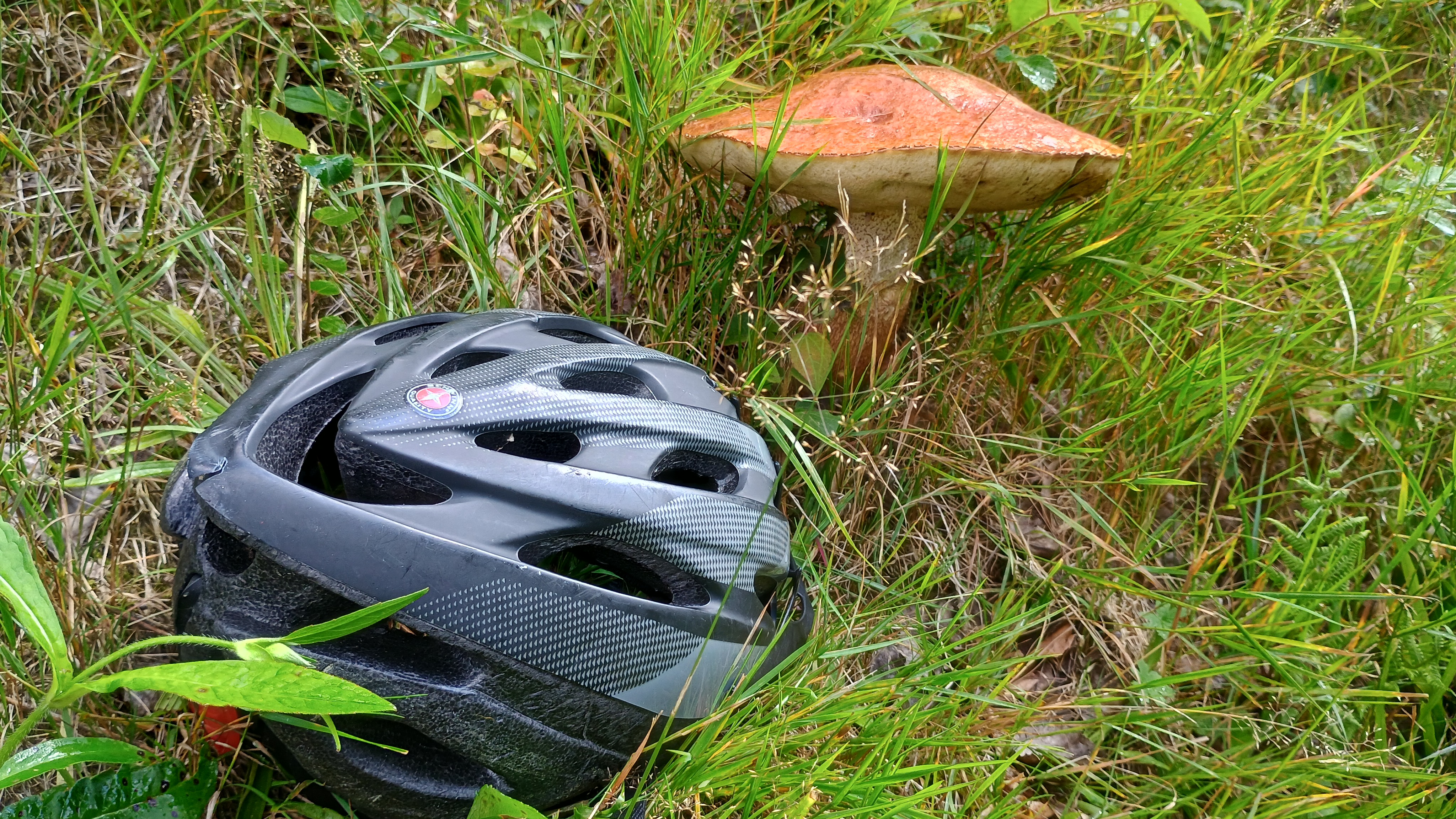
Season start. Exploring the area between kleinenz and großer Enz
- -:--
- Duration
- 54.1 km
- Distance
- 989 m
- Ascent
- 991 m
- Descent
- ---
- Avg. speed
- 861 m
- Max. altitude

Route quality
Waytypes & surfaces along the route
Waytypes
Track
26 km
(48 %)
Quiet road
8.1 km
(15 %)
Surfaces
Paved
30.3 km
(56 %)
Unpaved
16.8 km
(31 %)
Asphalt
26 km
(48 %)
Gravel
14.1 km
(26 %)
Continue with Bikemap
Use, edit, or download this cycling route
You would like to ride Calmbach Meistern Poppeltal or customize it for your own trip? Here is what you can do with this Bikemap route:
Free features
- Save this route as favorite or in collections
- Copy & plan your own version of this route
- Sync your route with Garmin or Wahoo
Premium features
Free trial for 3 days, or one-time payment. More about Bikemap Premium.
- Navigate this route on iOS & Android
- Export a GPX / KML file of this route
- Create your custom printout (try it for free)
- Download this route for offline navigation
Discover more Premium features.
Get Bikemap PremiumFrom our community
Other popular routes starting in Höfen an der Enz
 Calmbach Meistern Poppeltal
- Distance
- 54.1 km
- Ascent
- 989 m
- Descent
- 991 m
- Location
- Höfen an der Enz, Baden-Wurttemberg, Germany
 my first ride on my Van Rysel gravel bike
- Distance
- 39.2 km
- Ascent
- 936 m
- Descent
- 989 m
- Location
- Höfen an der Enz, Baden-Wurttemberg, Germany
 Bad Wildbad-BadenBaden-KaltenbronnerWand
- Distance
- 90.1 km
- Ascent
- 1,720 m
- Descent
- 1,720 m
- Location
- Höfen an der Enz, Baden-Wurttemberg, Germany
 test
test- Distance
- 5.5 km
- Ascent
- 147 m
- Descent
- 147 m
- Location
- Höfen an der Enz, Baden-Wurttemberg, Germany
 MTB Bad Wildbad mit Abstecher zur Grünhütte
- Distance
- 50.9 km
- Ascent
- 961 m
- Descent
- 961 m
- Location
- Höfen an der Enz, Baden-Wurttemberg, Germany
 Calmbach -Freudenstadt
- Distance
- 103.5 km
- Ascent
- 1,047 m
- Descent
- 1,039 m
- Location
- Höfen an der Enz, Baden-Wurttemberg, Germany
 Schwarzwald_RR_bike-nord-sued
- Distance
- 423.6 km
- Ascent
- 5,806 m
- Descent
- 5,096 m
- Location
- Höfen an der Enz, Baden-Wurttemberg, Germany
 Neuenbürg (Württ.) Eyachbrücke nach Neuenbürg Südbahnhof
- Distance
- 19.2 km
- Ascent
- 136 m
- Descent
- 167 m
- Location
- Höfen an der Enz, Baden-Wurttemberg, Germany
Open it in the app