5th. day Mori - Peschiera opt.2 82km 1800mt
A cycling route starting in Mori, Trentino-Alto Adige, Italy.
Overview
About this route
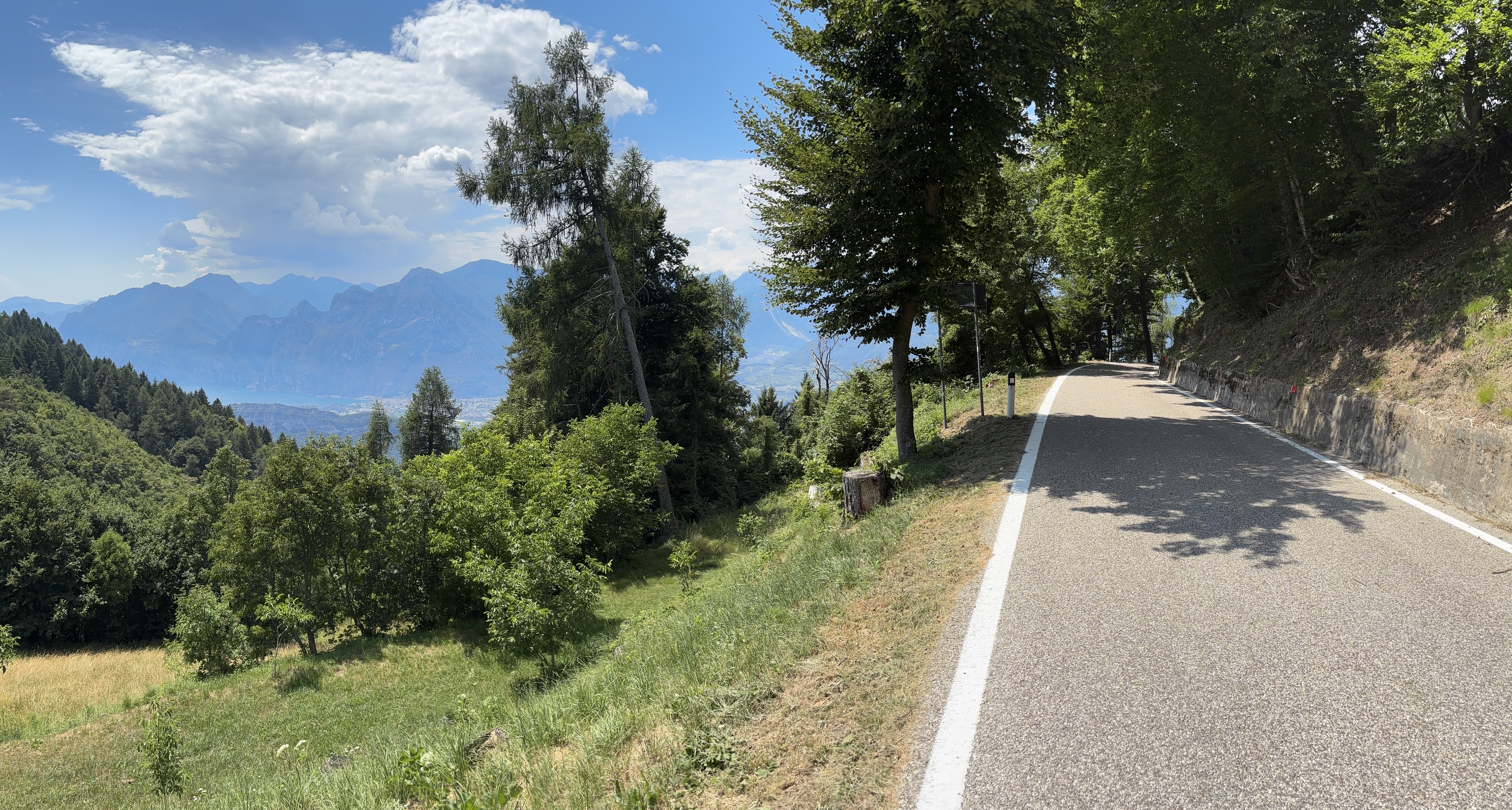
Climb of Monte Baldo from Brentonico (stage of Giro d' Italia)
- -:--
- Duration
- 82.6 km
- Distance
- 2,075 m
- Ascent
- 2,204 m
- Descent
- ---
- Avg. speed
- 1,623 m
- Avg. speed
Route quality
Waytypes & surfaces along the route
Waytypes
Busy road
36.2 km
(44 %)
Road
34.7 km
(42 %)
Surfaces
Paved
78.3 km
(95 %)
Unpaved
0.8 km
(<1 %)
Asphalt
77.9 km
(94 %)
Gravel
0.4 km
(<1 %)
Continue with Bikemap
Use, edit, or download this cycling route
You would like to ride 5th. day Mori - Peschiera opt.2 82km 1800mt or customize it for your own trip? Here is what you can do with this Bikemap route:
Free features
- Save this route as favorite or in collections
- Copy & plan your own version of this route
- Sync your route with Garmin or Wahoo
Premium features
Free trial for 3 days, or one-time payment. More about Bikemap Premium.
- Navigate this route on iOS & Android
- Export a GPX / KML file of this route
- Create your custom printout (try it for free)
- Download this route for offline navigation
Discover more Premium features.
Get Bikemap PremiumFrom our community
Other popular routes starting in Mori
- rovereto-arco
- Distance
- 17.5 km
- Ascent
- 237 m
- Descent
- 316 m
- Location
- Mori, Trentino-Alto Adige, Italy
- Gardasee Runde
- Distance
- 102.7 km
- Ascent
- 500 m
- Descent
- 499 m
- Location
- Mori, Trentino-Alto Adige, Italy
- Mori - Brentonico
- Distance
- 8.4 km
- Ascent
- 623 m
- Descent
- 121 m
- Location
- Mori, Trentino-Alto Adige, Italy
- 10-Rovereto-Torbole (Lago della Garda)
- Distance
- 14.4 km
- Ascent
- 140 m
- Descent
- 239 m
- Location
- Mori, Trentino-Alto Adige, Italy
- Monte Baldo Höhenstraße (Teil 1)
- Distance
- 67.1 km
- Ascent
- 1,541 m
- Descent
- 1,542 m
- Location
- Mori, Trentino-Alto Adige, Italy
- monte baldo
- Distance
- 114.8 km
- Ascent
- 2,646 m
- Descent
- 2,642 m
- Location
- Mori, Trentino-Alto Adige, Italy
- Bayern - Rom 3. Etappe
- Distance
- 128.4 km
- Ascent
- 240 m
- Descent
- 496 m
- Location
- Mori, Trentino-Alto Adige, Italy
- Recording from 26 ottobre 13:55
- Distance
- 68.4 km
- Ascent
- 191 m
- Descent
- 269 m
- Location
- Mori, Trentino-Alto Adige, Italy
Open it in the app