

Kaiserstuhl_Rundfahrt_ab Breisach
A cycling route starting in Algolsheim, Grand Est, France.
Overview
About this route
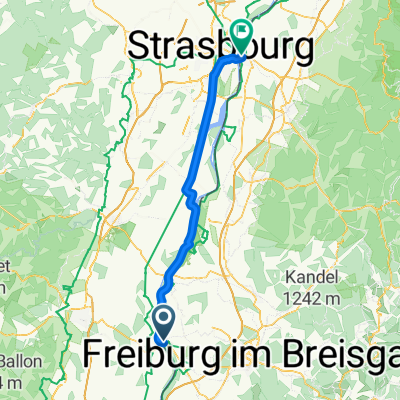
<p>Breisach-Sasbach-Endingen-Riegel-Bahlingen-Gottenheim-Umkirch-Merdingen-Ihringen-Breisach</p>
Translated, show original (German)- -:--
- Duration
- 60.2 km
- Distance
- 242 m
- Ascent
- 242 m
- Descent
- ---
- Avg. speed
- 270 m
- Max. altitude

Route quality
Waytypes & surfaces along the route
Waytypes
Track
27.7 km
(46 %)
Quiet road
13.2 km
(22 %)
Surfaces
Paved
45.2 km
(75 %)
Unpaved
10.8 km
(18 %)
Asphalt
37.9 km
(63 %)
Gravel
10.8 km
(18 %)
Continue with Bikemap
Use, edit, or download this cycling route
You would like to ride Kaiserstuhl_Rundfahrt_ab Breisach or customize it for your own trip? Here is what you can do with this Bikemap route:
Free features
- Save this route as favorite or in collections
- Copy & plan your own version of this route
- Sync your route with Garmin or Wahoo
Premium features
Free trial for 3 days, or one-time payment. More about Bikemap Premium.
- Navigate this route on iOS & Android
- Export a GPX / KML file of this route
- Create your custom printout (try it for free)
- Download this route for offline navigation
Discover more Premium features.
Get Bikemap PremiumFrom our community
Other popular routes starting in Algolsheim
 #10 Hotel Breisacher Hof to Rosegarden
- Distance
- 72.7 km
- Ascent
- 32 m
- Descent
- 82 m
- Location
- Algolsheim, Grand Est, France
 Kaiserstuhl_Rundfahrt_ab Breisach
- Distance
- 60.2 km
- Ascent
- 242 m
- Descent
- 242 m
- Location
- Algolsheim, Grand Est, France
 Sonntag
- Distance
- 64.7 km
- Ascent
- 47 m
- Descent
- 55 m
- Location
- Algolsheim, Grand Est, France
 2 Geiswasser Rhinau
- Distance
- 62 km
- Ascent
- 59 m
- Descent
- 94 m
- Location
- Algolsheim, Grand Est, France
 Kaiserstuhlrunde
- Distance
- 62.7 km
- Ascent
- 267 m
- Descent
- 251 m
- Location
- Algolsheim, Grand Est, France
 Breisach1
- Distance
- 55.5 km
- Ascent
- 342 m
- Descent
- 339 m
- Location
- Algolsheim, Grand Est, France
 Tour du KAISERSTUHL
- Distance
- 60.3 km
- Ascent
- 47 m
- Descent
- 50 m
- Location
- Algolsheim, Grand Est, France
 CYCLING THE RHINE: Route 18B
- Distance
- 23.7 km
- Ascent
- 35 m
- Descent
- 32 m
- Location
- Algolsheim, Grand Est, France
Open it in the app