


Béjar-Hervás-Jerte-Barco de Ávila-Bejar-Candelario
- 120.7 km
- 2,083 m
- 1,931 m
- Béjar, Castille and León, Spain
A cycling route starting in Béjar, Castille and León, Spain.
Overview
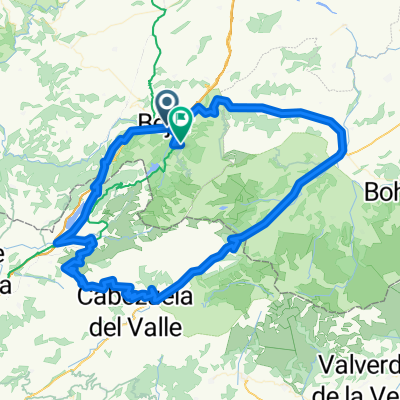
Circular route with medium difficulty. The route starts at Plaza de España in Béjar (980 m) and climbs up to Peña Negra (1635 m). Right from the start, the ascent begins, passing first through El Castñar and Llano Alto, two places very popular among the locals of Béjar, then continuing with a slightly tougher climb towards Peña de la Cruz and Peña Negra. From here, we can enjoy wonderful views. The descent is done via the back, through La Garganta. You have to jump some stones and open a gate. The descent will take us down to the road from Candelario to La Garganta, and then we'll head towards Candelario (left). We will pass by the Navamuño Reservoir, which supplies water to Candelario and Béjar. Upon reaching Candelario, we head uphill to visit its streets. For this, we will always take the detours towards Navacarros, until we are almost out of the town, where we will retrace our steps a bit to descend along the main street, thus being able to see its beautiful streets and its batipuertas. Upon reaching the hermitage, a place where many locals gather, we'll head towards the park - football field. Try to keep the field to your left and continue along this track without leaving it. This path is called La Canaleja, and it is a beautiful but also very technical trail, so be careful not to fall. We will reach the pine trees and continue the descent either straight ahead or by turning right and after about 150 meters taking the trail that goes left, enjoying some banked curves and some jumps among the pines. We keep going straight until reaching the old N.630, where we turn left to return to the starting point.
created this 14 years ago
Continue with Bikemap
You would like to ride Bejar - Peña Negra - Candelario - Bejar or customize it for your own trip? Here is what you can do with this Bikemap route:
Free trial for 3 days, or one-time payment. More about Bikemap Premium.
Discover more Premium features.
Get Bikemap PremiumFrom our community
Open it in the app


