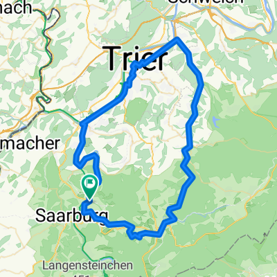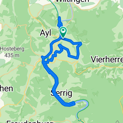
Saar auf Saar ab
- 31 km
- 235 m
- 237 m
- Ockfen, Rhineland-Palatinate, Germany
A cycling route starting in Ockfen, Rhineland-Palatinate, Germany.
Overview
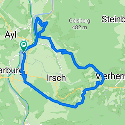
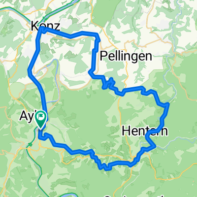
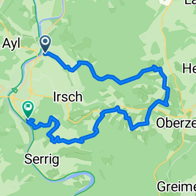
First, it goes over Saarburg to Trassem, then past the Leuk (Kollesleucker Switzerland) to Faha, then downhill to Nennig (Roman Mosaic), back along the Obermosel to the confluence of the Saar, then upriver on the Saar.
created this 14 years ago
Continue with Bikemap
You would like to ride Leuk - Faha - Nennig - Obermosel - Saar or customize it for your own trip? Here is what you can do with this Bikemap route:
Free trial for 3 days, or one-time payment. More about Bikemap Premium.
Discover more Premium features.
Get Bikemap PremiumFrom our community
Open it in the app