

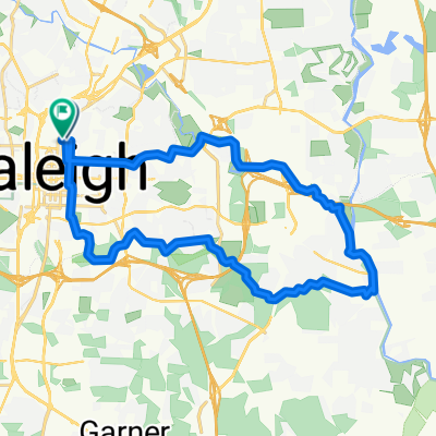
around nc state
A cycling route starting in Raleigh, North Carolina, United States.
Overview
About this route
- -:--
- Duration
- 9.4 km
- Distance
- 74 m
- Ascent
- 71 m
- Descent
- ---
- Avg. speed
- 125 m
- Max. altitude
Route quality
Waytypes & surfaces along the route
Waytypes
Cycleway
9 km
(96 %)
Pedestrian area
0.3 km
(3 %)
Quiet road
0.1 km
(1 %)
Surfaces
Paved
9.3 km
(99 %)
Unpaved
0.1 km
(1 %)
Asphalt
6.5 km
(69 %)
Paved (undefined)
2.2 km
(23 %)
Route highlights
Points of interest along the route
Point of interest after 0 km
start
Continue with Bikemap
Use, edit, or download this cycling route
You would like to ride around nc state or customize it for your own trip? Here is what you can do with this Bikemap route:
Free features
- Save this route as favorite or in collections
- Copy & plan your own version of this route
- Sync your route with Garmin or Wahoo
Premium features
Free trial for 3 days, or one-time payment. More about Bikemap Premium.
- Navigate this route on iOS & Android
- Export a GPX / KML file of this route
- Create your custom printout (try it for free)
- Download this route for offline navigation
Discover more Premium features.
Get Bikemap PremiumFrom our community
Other popular routes starting in Raleigh
 East Franklin Street 400, Raleigh to N Person St at E Franklin St, Raleigh
- Distance
- 30.1 km
- Ascent
- 257 m
- Descent
- 250 m
- Location
- Raleigh, North Carolina, United States
 Bike + Wine
- Distance
- 12.1 km
- Ascent
- 57 m
- Descent
- 54 m
- Location
- Raleigh, North Carolina, United States
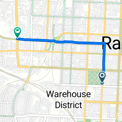 W Martin St, Raleigh to W Morgan St, Raleigh
- Distance
- 1.6 km
- Ascent
- 19 m
- Descent
- 7 m
- Location
- Raleigh, North Carolina, United States
 Hillsborough St / Downtown
- Distance
- 14.8 km
- Ascent
- 154 m
- Descent
- 154 m
- Location
- Raleigh, North Carolina, United States
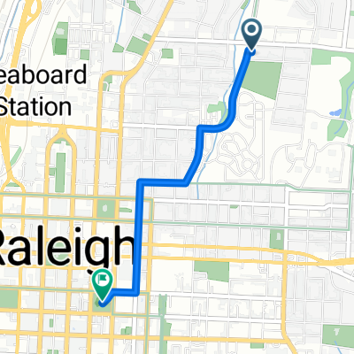 Falafel to Moore Sq
- Distance
- 2.4 km
- Ascent
- 20 m
- Descent
- 0 m
- Location
- Raleigh, North Carolina, United States
 around nc state
- Distance
- 9.4 km
- Ascent
- 74 m
- Descent
- 71 m
- Location
- Raleigh, North Carolina, United States
 Rocky Branch to Lake Johnson
- Distance
- 23.4 km
- Ascent
- 161 m
- Descent
- 161 m
- Location
- Raleigh, North Carolina, United States
 Greenway Tour
- Distance
- 38.3 km
- Ascent
- 168 m
- Descent
- 168 m
- Location
- Raleigh, North Carolina, United States
Open it in the app