

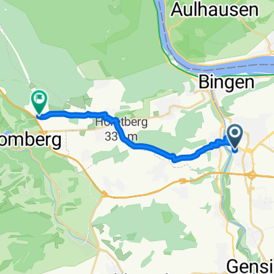
Bingen-Lauschhütte-Schanzerkopf-Stromberg-Heim
A cycling route starting in Münster-Sarmsheim, Rhineland-Palatinate, Germany.
Overview
About this route
Varied, beautiful, closed loop repeatedly following the trails of the Soonwaldsteig through Binger Forest and Soonwald.
- -:--
- Duration
- 73.5 km
- Distance
- 1,353 m
- Ascent
- 1,364 m
- Descent
- ---
- Avg. speed
- ---
- Max. altitude

Route quality
Waytypes & surfaces along the route
Waytypes
Track
49.2 km
(67 %)
Path
12.5 km
(17 %)
Surfaces
Paved
16.2 km
(22 %)
Unpaved
45.6 km
(62 %)
Gravel
27.9 km
(38 %)
Asphalt
10.3 km
(14 %)
Continue with Bikemap
Use, edit, or download this cycling route
You would like to ride Bingen-Lauschhütte-Schanzerkopf-Stromberg-Heim or customize it for your own trip? Here is what you can do with this Bikemap route:
Free features
- Save this route as favorite or in collections
- Copy & plan your own version of this route
- Sync your route with Garmin or Wahoo
Premium features
Free trial for 3 days, or one-time payment. More about Bikemap Premium.
- Navigate this route on iOS & Android
- Export a GPX / KML file of this route
- Create your custom printout (try it for free)
- Download this route for offline navigation
Discover more Premium features.
Get Bikemap PremiumFrom our community
Other popular routes starting in Münster-Sarmsheim
 Von Bingen am Rhein bis Warmsroth
- Distance
- 11.3 km
- Ascent
- 305 m
- Descent
- 74 m
- Location
- Münster-Sarmsheim, Rhineland-Palatinate, Germany
 wispertal
- Distance
- 95.1 km
- Ascent
- 674 m
- Descent
- 651 m
- Location
- Münster-Sarmsheim, Rhineland-Palatinate, Germany
 Hochsteinchen-Kandrich
- Distance
- 57.5 km
- Ascent
- 1,094 m
- Descent
- 1,094 m
- Location
- Münster-Sarmsheim, Rhineland-Palatinate, Germany
 Route in Bingen am Rhein
- Distance
- 26.4 km
- Ascent
- 118 m
- Descent
- 115 m
- Location
- Münster-Sarmsheim, Rhineland-Palatinate, Germany
 Kreuzbachklamm Tour
- Distance
- 40.1 km
- Ascent
- 1,161 m
- Descent
- 1,161 m
- Location
- Münster-Sarmsheim, Rhineland-Palatinate, Germany
 Trainings Route 1
- Distance
- 13.8 km
- Ascent
- 69 m
- Descent
- 65 m
- Location
- Münster-Sarmsheim, Rhineland-Palatinate, Germany
 Soonwald-Bingerwald
- Distance
- 65.3 km
- Ascent
- 1,320 m
- Descent
- 1,041 m
- Location
- Münster-Sarmsheim, Rhineland-Palatinate, Germany
 In der Weizengewann, Bingen am Rhein nach Wald-Erbacher-Straße, Warmsroth
- Distance
- 11.4 km
- Ascent
- 303 m
- Descent
- 57 m
- Location
- Münster-Sarmsheim, Rhineland-Palatinate, Germany
Open it in the app