

Elsass-Marathon
A cycling route starting in Therwil, Basel-Landschaft, Switzerland.
Overview
About this route
<p>Diverse Alsace loop.</p>
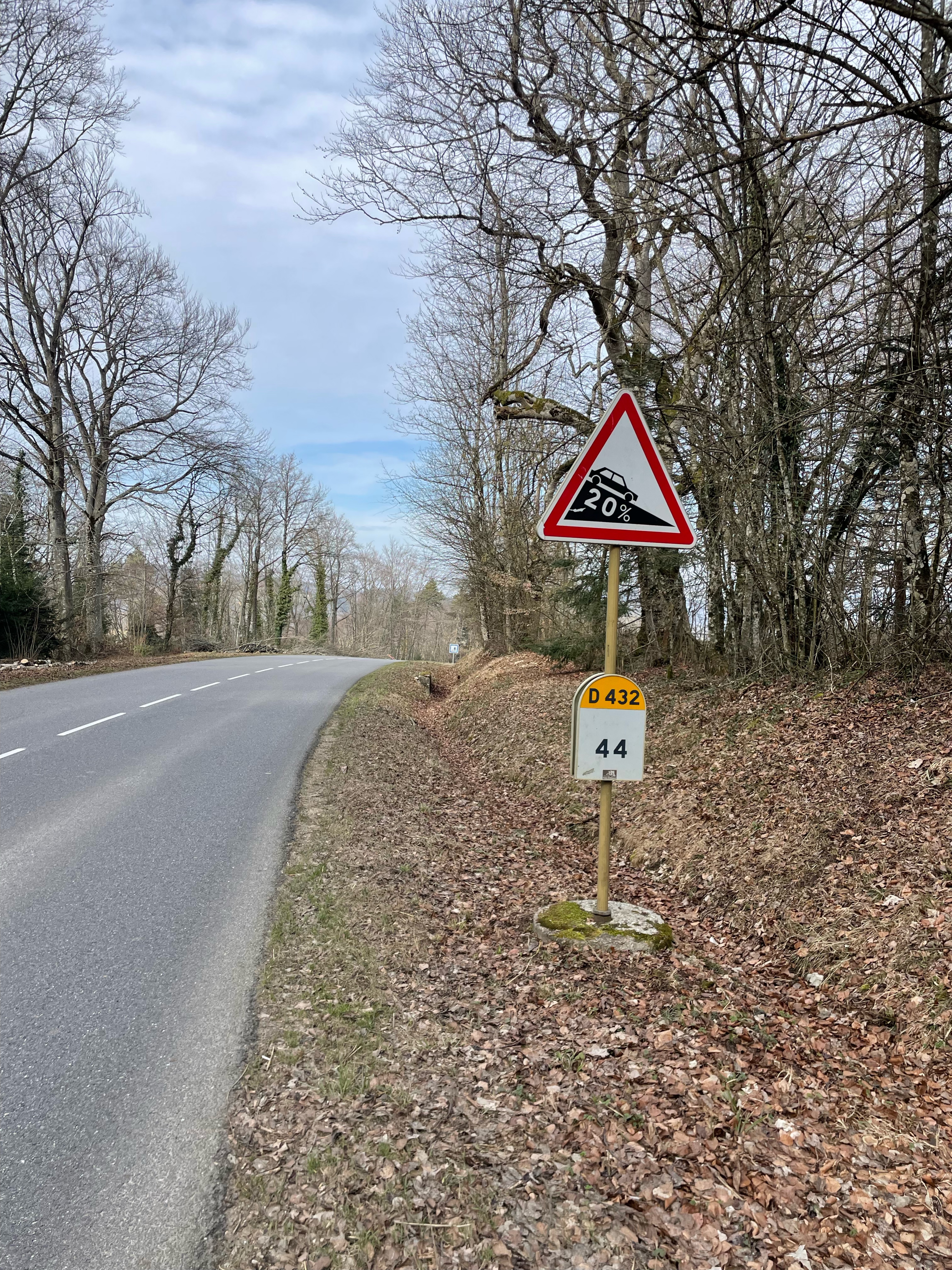
<p>After this route, you'll know another cycling wisdom: tailwind does not exist!</p>
Translated, show original (German)- 4 h 52 min
- Duration
- 117.3 km
- Distance
- 1,607 m
- Ascent
- 1,607 m
- Descent
- 24.1 km/h
- Avg. speed
- 649 m
- Max. altitude

Route quality
Waytypes & surfaces along the route
Waytypes
Road
39.9 km
(34 %)
Quiet road
16.4 km
(14 %)
Surfaces
Paved
31.7 km
(27 %)
Asphalt
29.3 km
(25 %)
Paved (undefined)
2.3 km
(2 %)
Undefined
85.6 km
(73 %)
Continue with Bikemap
Use, edit, or download this cycling route
You would like to ride Elsass-Marathon or customize it for your own trip? Here is what you can do with this Bikemap route:
Free features
- Save this route as favorite or in collections
- Copy & plan your own version of this route
- Split it into stages to create a multi-day tour
- Sync your route with Garmin or Wahoo
Premium features
Free trial for 3 days, or one-time payment. More about Bikemap Premium.
- Navigate this route on iOS & Android
- Export a GPX / KML file of this route
- Create your custom printout (try it for free)
- Download this route for offline navigation
Discover more Premium features.
Get Bikemap PremiumFrom our community
Other popular routes starting in Therwil
 Blauerundi 4
- Distance
- 22.3 km
- Ascent
- 655 m
- Descent
- 627 m
- Location
- Therwil, Basel-Landschaft, Switzerland
 Gebirgige Elsassrunde mit Blochmont und Mur de Winkel
- Distance
- 78.8 km
- Ascent
- 1,332 m
- Descent
- 1,336 m
- Location
- Therwil, Basel-Landschaft, Switzerland
 Rundkurs von Therwil via Col de Metzerlen nach Therwil
- Distance
- 50.3 km
- Ascent
- 608 m
- Descent
- 607 m
- Location
- Therwil, Basel-Landschaft, Switzerland
 Blauenrunde 2
- Distance
- 24.3 km
- Ascent
- 670 m
- Descent
- 669 m
- Location
- Therwil, Basel-Landschaft, Switzerland
 Therwil-Lausanne SGO
- Distance
- 198.2 km
- Ascent
- 2,104 m
- Descent
- 1,913 m
- Location
- Therwil, Basel-Landschaft, Switzerland
 blauen-route
- Distance
- 29.3 km
- Ascent
- 603 m
- Descent
- 603 m
- Location
- Therwil, Basel-Landschaft, Switzerland
 Elsass-Jura Route
- Distance
- 70.7 km
- Ascent
- 852 m
- Descent
- 852 m
- Location
- Therwil, Basel-Landschaft, Switzerland
 St. Brice-Les trois Etangs
- Distance
- 50.5 km
- Ascent
- 1,209 m
- Descent
- 1,191 m
- Location
- Therwil, Basel-Landschaft, Switzerland
Open it in the app