
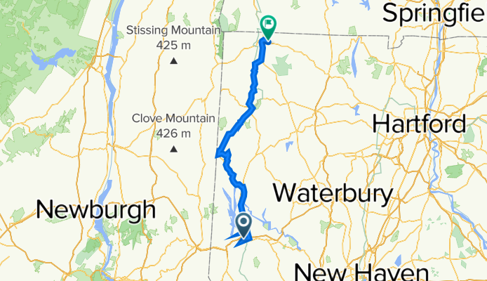
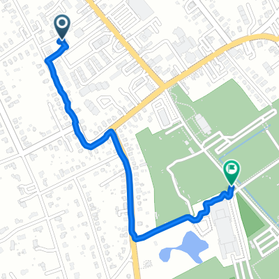
Danbury CT to Canaan CT
A cycling route starting in Danbury, Connecticut, United States of America.
Overview
About this route
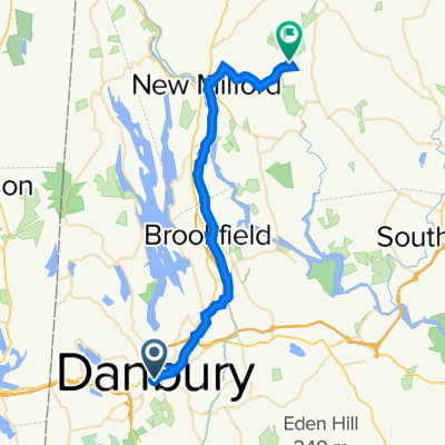
We followed the Western New England Greenway north from Danbury CT to Bulls Bridge. Along the way, in following the trail, we turned onto River Road, which was unpaved, though fortunately pretty hardpacked. This was important due to the heavy rain that had fallen yesterday and all night.
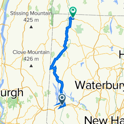
After the long climb to Bulls Bridge, I somehow misread the map and turned us onto US Highway 7, which runs along the east side of Housatonic River. The Western New England Greenway route followed the west side up to Kent, where it returned to the east side and followed US Highway 7 for most of the rest of the way to North Canaan. This was probably a blessing in disguise since I’m guessing that the west side route might well be more unpaved road. In addition, with our taking the much faster US Highway 7 from Bulls Bridge to Kent (and beyond), we probably saved an hour or so of time. As it was, we didn’t arrive at our B&B until about 7:10, which wouldn’t be too much before sunset.
Going through New Milford, we found a really charming village that should be a good place to stay and wander around.
- 8 h 22 min
- Duration
- 93.4 km
- Distance
- 1,269 m
- Ascent
- 1,139 m
- Descent
- 11.2 km/h
- Avg. speed
- 223 m
- Max. altitude

Route quality
Waytypes & surfaces along the route
Waytypes
Busy road
61.7 km
(66 %)
Quiet road
20.3 km
(22 %)
Surfaces
Paved
22.9 km
(24 %)
Unpaved
5.6 km
(6 %)
Asphalt
18.4 km
(20 %)
Gravel
5.3 km
(6 %)
Continue with Bikemap
Use, edit, or download this cycling route
You would like to ride Danbury CT to Canaan CT or customize it for your own trip? Here is what you can do with this Bikemap route:
Free features
- Save this route as favorite or in collections
- Copy & plan your own version of this route
- Split it into stages to create a multi-day tour
- Sync your route with Garmin or Wahoo
Premium features
Free trial for 3 days, or one-time payment. More about Bikemap Premium.
- Navigate this route on iOS & Android
- Export a GPX / KML file of this route
- Create your custom printout (try it for free)
- Download this route for offline navigation
Discover more Premium features.
Get Bikemap PremiumFrom our community
Other popular routes starting in Danbury
 Moderate route in Danbury
- Distance
- 3.5 km
- Ascent
- 47 m
- Descent
- 35 m
- Location
- Danbury, Connecticut, United States of America
 Federal Road 761, Brookfield to Silvermine Road 65, Brookfield
- Distance
- 3.7 km
- Ascent
- 18 m
- Descent
- 9 m
- Location
- Danbury, Connecticut, United States of America
 246 Franklin Street Ext, Danbury to 246 Franklin Street Ext, Danbury
- Distance
- 29.2 km
- Ascent
- 318 m
- Descent
- 319 m
- Location
- Danbury, Connecticut, United States of America
 Merit Badge 10 Mile 1
- Distance
- 4 km
- Ascent
- 73 m
- Descent
- 111 m
- Location
- Danbury, Connecticut, United States of America
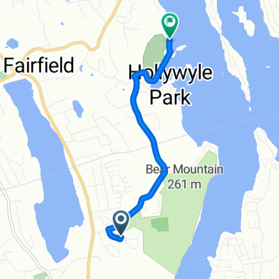
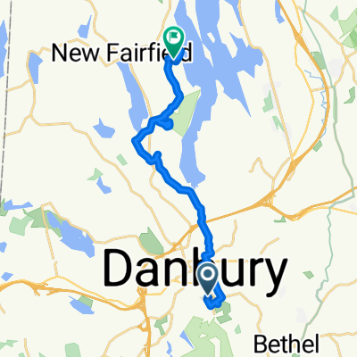 45 Grand St, Danbury to 55 Wood Creek Rd, New Fairfield
- Distance
- 16.7 km
- Ascent
- 371 m
- Descent
- 349 m
- Location
- Danbury, Connecticut, United States of America
 Danbury to Roxbury
- Distance
- 33.2 km
- Ascent
- 371 m
- Descent
- 388 m
- Location
- Danbury, Connecticut, United States of America
 Danbury CT to Canaan CT
- Distance
- 93.4 km
- Ascent
- 1,269 m
- Descent
- 1,139 m
- Location
- Danbury, Connecticut, United States of America
 41 Grand St, Danbury to 54–88 Memorial Dr, Danbury
- Distance
- 1.3 km
- Ascent
- 15 m
- Descent
- 20 m
- Location
- Danbury, Connecticut, United States of America
Open it in the app