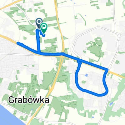
Lucień - 2011/34
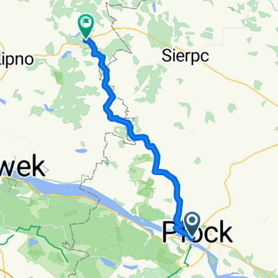
A cycling route starting in Płock, Masovian Voivodeship, Poland.
Overview
About this route
Trasa przebiegająca częściowo szlakiem zielonym, niebieskim, żółtym i czerwonym.
- -:--
- Duration
- 45.9 km
- Distance
- 157 m
- Ascent
- 156 m
- Descent
- ---
- Avg. speed
- ---
- Avg. speed
Route quality
Waytypes & surfaces along the route
Waytypes
Quiet road
26.4 km
(58 %)
Track
7.3 km
(16 %)
Surfaces
Paved
25.2 km
(55 %)
Unpaved
9.3 km
(20 %)
Asphalt
24.6 km
(54 %)
Gravel
5.5 km
(12 %)
Continue with Bikemap
Use, edit, or download this cycling route
You would like to ride Lucień - 2011/34 or customize it for your own trip? Here is what you can do with this Bikemap route:
Free features
- Save this route as favorite or in collections
- Copy & plan your own version of this route
- Sync your route with Garmin or Wahoo
Premium features
Free trial for 3 days, or one-time payment. More about Bikemap Premium.
- Navigate this route on iOS & Android
- Export a GPX / KML file of this route
- Create your custom printout (try it for free)
- Download this route for offline navigation
Discover more Premium features.
Get Bikemap PremiumFrom our community
Other popular routes starting in Płock
- VM + WTR krokta
- Distance
- 103.1 km
- Ascent
- 174 m
- Descent
- 172 m
- Location
- Płock, Masovian Voivodeship, Poland
- Słupno-Białobrzegi-Kępa Polska
- Distance
- 52.9 km
- Ascent
- 128 m
- Descent
- 144 m
- Location
- Płock, Masovian Voivodeship, Poland
- Narodowych Sił Zbrojnych 10, Płock do Stanisława Siennickiego 1, Płock
- Distance
- 17.5 km
- Ascent
- 24 m
- Descent
- 15 m
- Location
- Płock, Masovian Voivodeship, Poland
- Grabina - Łąck - Zaździerz
- Distance
- 46.2 km
- Ascent
- 139 m
- Descent
- 138 m
- Location
- Płock, Masovian Voivodeship, Poland
- Rajmunda Rembielińskiego 10, Płock do Piasta Kołodzieja 2, Płock
- Distance
- 24 km
- Ascent
- 123 m
- Descent
- 156 m
- Location
- Płock, Masovian Voivodeship, Poland
- Szosą z Płocka do Warszawy
- Distance
- 97.9 km
- Ascent
- 94 m
- Descent
- 45 m
- Location
- Płock, Masovian Voivodeship, Poland
- bike tour from 16/04/16 14:55
- Distance
- 22.7 km
- Ascent
- 90 m
- Descent
- 89 m
- Location
- Płock, Masovian Voivodeship, Poland
- Narodowych Sił Zbrojnych 15, Płock do Stanisława Siennickiego 1, Płock
- Distance
- 50.1 km
- Ascent
- 63 m
- Descent
- 70 m
- Location
- Płock, Masovian Voivodeship, Poland
Open it in the app