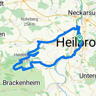
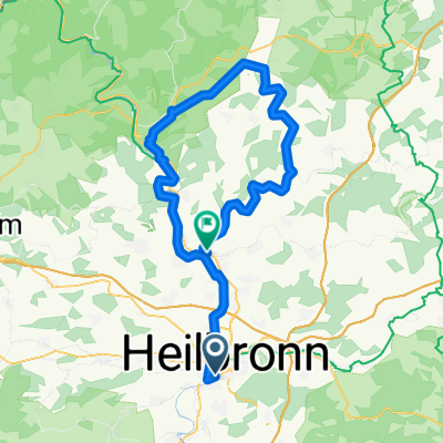
HN-Willsbach-Steinerner Tisch-Salzweg-HN
A cycling route starting in Heilbronn, Baden-Württemberg, Germany.
Overview
About this route
Schöne Tour zum und auf dem Salzweg und der spricht ja für sich.
- -:--
- Duration
- 42.9 km
- Distance
- 511 m
- Ascent
- 510 m
- Descent
- ---
- Avg. speed
- ---
- Avg. speed
Route quality
Waytypes & surfaces along the route
Waytypes
Track
22.3 km
(52 %)
Path
9.6 km
(22 %)
Surfaces
Paved
23.6 km
(55 %)
Unpaved
18.9 km
(44 %)
Asphalt
22.5 km
(52 %)
Ground
7.2 km
(17 %)
Continue with Bikemap
Use, edit, or download this cycling route
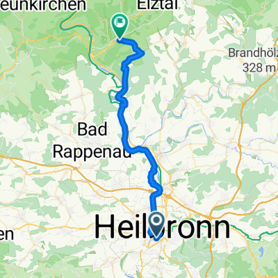
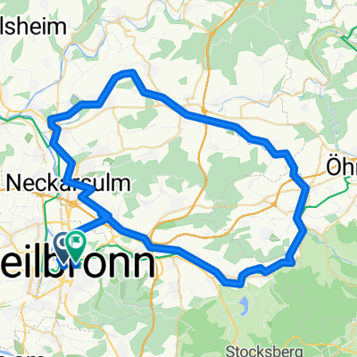
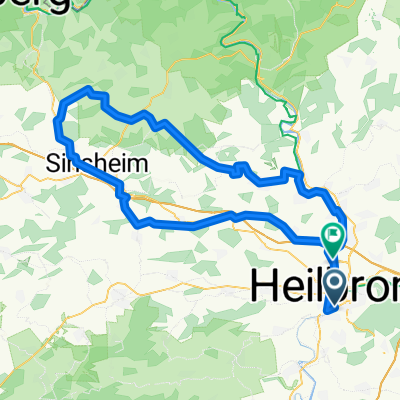
You would like to ride HN-Willsbach-Steinerner Tisch-Salzweg-HN or customize it for your own trip? Here is what you can do with this Bikemap route:
Free features
- Save this route as favorite or in collections
- Copy & plan your own version of this route
- Sync your route with Garmin or Wahoo
Premium features
Free trial for 3 days, or one-time payment. More about Bikemap Premium.
- Navigate this route on iOS & Android
- Export a GPX / KML file of this route
- Create your custom printout (try it for free)
- Download this route for offline navigation
Discover more Premium features.
Get Bikemap PremiumFrom our community
Other popular routes starting in Heilbronn
- Drei Tälertour Neckar, Kocher Jagst, Neckar
- Distance
- 63.4 km
- Ascent
- 579 m
- Descent
- 608 m
- Location
- Heilbronn, Baden-Württemberg, Germany
- CHALLENGE HEILBRONN Radstrecke Volksdistanz NEU
- Distance
- 20.4 km
- Ascent
- 182 m
- Descent
- 182 m
- Location
- Heilbronn, Baden-Württemberg, Germany
- HN Strombergrunde 62km
- Distance
- 60.4 km
- Ascent
- 692 m
- Descent
- 667 m
- Location
- Heilbronn, Baden-Württemberg, Germany
- HN_Annasee_Stocksberger AT_Bleichsee_HW8_HN
- Distance
- 44.7 km
- Ascent
- 681 m
- Descent
- 683 m
- Location
- Heilbronn, Baden-Württemberg, Germany
- HN-Stettenfels-Donnbronn-HN
- Distance
- 23.2 km
- Ascent
- 282 m
- Descent
- 282 m
- Location
- Heilbronn, Baden-Württemberg, Germany
- Kocher-Jagst-Tour Teil 1
- Distance
- 99.3 km
- Ascent
- 826 m
- Descent
- 724 m
- Location
- Heilbronn, Baden-Württemberg, Germany
- scheweinsbergturm
- Distance
- 8.9 km
- Ascent
- 165 m
- Descent
- 37 m
- Location
- Heilbronn, Baden-Württemberg, Germany
- Finale RSG Radrunde vor dem Mondseerennen am kommenden Wochenende...
- Distance
- 96.8 km
- Ascent
- 288 m
- Descent
- 289 m
- Location
- Heilbronn, Baden-Württemberg, Germany
Open it in the app