

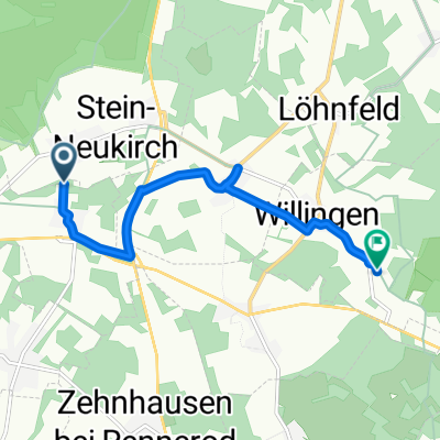
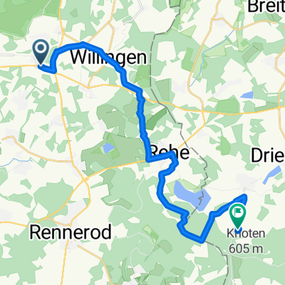
Hoher Weg 26, Stein-Neukirch nach Büchtingstraße 5, Bad Marienberg (Westerwald)
A cycling route starting in Salzburg, Rhineland-Palatinate, Germany.
Overview
About this route
- 31 min
- Duration
- 8.3 km
- Distance
- 42 m
- Ascent
- 200 m
- Descent
- 16 km/h
- Avg. speed
- 625 m
- Max. altitude

Route quality
Waytypes & surfaces along the route
Waytypes
Quiet road
3.5 km
(42 %)
Road
3 km
(36 %)
Surfaces
Paved
3.6 km
(43 %)
Unpaved
0.6 km
(7 %)
Asphalt
2.7 km
(33 %)
Paved (undefined)
0.9 km
(10 %)
Continue with Bikemap
Use, edit, or download this cycling route
You would like to ride Hoher Weg 26, Stein-Neukirch nach Büchtingstraße 5, Bad Marienberg (Westerwald) or customize it for your own trip? Here is what you can do with this Bikemap route:
Free features
- Save this route as favorite or in collections
- Copy & plan your own version of this route
- Sync your route with Garmin or Wahoo
Premium features
Free trial for 3 days, or one-time payment. More about Bikemap Premium.
- Navigate this route on iOS & Android
- Export a GPX / KML file of this route
- Create your custom printout (try it for free)
- Download this route for offline navigation
Discover more Premium features.
Get Bikemap PremiumFrom our community
Other popular routes starting in Salzburg
 haus Route
- Distance
- 13 km
- Ascent
- 251 m
- Descent
- 255 m
- Location
- Salzburg, Rhineland-Palatinate, Germany
 Wanderung Steig Alm
- Distance
- 9.9 km
- Ascent
- 99 m
- Descent
- 173 m
- Location
- Salzburg, Rhineland-Palatinate, Germany
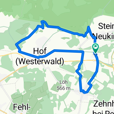
 Rund um Daaden
- Distance
- 54.8 km
- Ascent
- 583 m
- Descent
- 580 m
- Location
- Salzburg, Rhineland-Palatinate, Germany
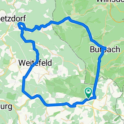
 Kleine Feierabend-Runde 1
- Distance
- 42.2 km
- Ascent
- 464 m
- Descent
- 463 m
- Location
- Salzburg, Rhineland-Palatinate, Germany
 Route von Köln-Leipziger-Straße, Salzburg
- Distance
- 6 km
- Ascent
- 104 m
- Descent
- 119 m
- Location
- Salzburg, Rhineland-Palatinate, Germany
 Hoher Weg 26, Stein-Neukirch nach Büchtingstraße 5, Bad Marienberg (Westerwald)
- Distance
- 8.3 km
- Ascent
- 42 m
- Descent
- 200 m
- Location
- Salzburg, Rhineland-Palatinate, Germany
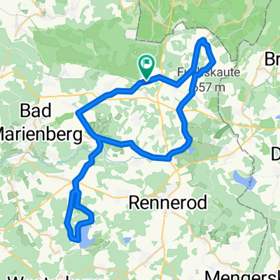
 Stein-Neukirch zur Steigalm
- Distance
- 10 km
- Ascent
- 98 m
- Descent
- 172 m
- Location
- Salzburg, Rhineland-Palatinate, Germany
 Route von B414, Salzburg
- Distance
- 18.2 km
- Ascent
- 215 m
- Descent
- 282 m
- Location
- Salzburg, Rhineland-Palatinate, Germany
Open it in the app