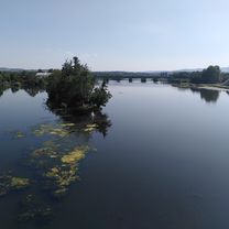
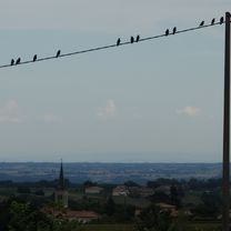
#5 Roanne - Clermont-Ferrand
- 128.9 km
- 1,466 m
- 1,339 m
- Roanne, Auvergne-Rhône-Alpes, France
A cycling route starting in Roanne, Auvergne-Rhône-Alpes, France.
Overview
Route in the mountains of Forez to the west of Roanne passing through 9 cols.
created this 14 years ago
Route quality
Road
40.6 km
(32 %)
Quiet road
17.8 km
(14 %)
Paved
69.8 km
(55 %)
Unpaved
7.6 km
(6 %)
Asphalt
69.8 km
(55 %)
Ground
5.1 km
(4 %)
Route highlights
Col de la Croix du Sud
Col de la Rivière Noire
Col de la Loge des Gardes
Col du beau Louis
Col de la Plantade
Col des Planchettes
Col de la Charme
Col Saint Thomas
Col du Bouchet
Continue with Bikemap
You would like to ride Balade dans le nord du Forez or customize it for your own trip? Here is what you can do with this Bikemap route:
Free trial for 3 days, or one-time payment. More about Bikemap Premium.
Discover more Premium features.
Get Bikemap PremiumFrom our community
Open it in the app