

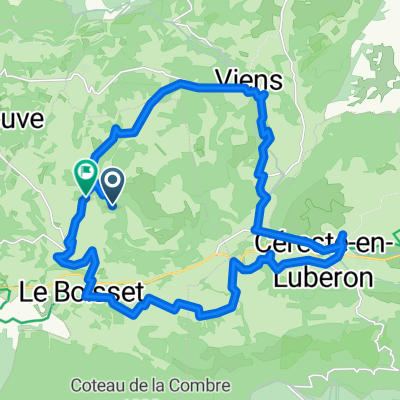
Cereste - velo raid du luberon
A cycling route starting in Céreste, Provence-Alpes-Côte d'Azur Region, France.
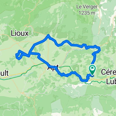
Overview
About this route
- 13 h 17 min
- Duration
- 195.1 km
- Distance
- 2,580 m
- Ascent
- 2,581 m
- Descent
- 14.7 km/h
- Avg. speed
- 684 m
- Max. altitude

Route quality
Waytypes & surfaces along the route
Waytypes
Road
70.2 km
(36 %)
Quiet road
31.2 km
(16 %)
Surfaces
Paved
115.1 km
(59 %)
Unpaved
2 km
(1 %)
Asphalt
115.1 km
(59 %)
Gravel
2 km
(1 %)
Undefined
78.1 km
(40 %)
Continue with Bikemap
Use, edit, or download this cycling route
You would like to ride Cereste - velo raid du luberon or customize it for your own trip? Here is what you can do with this Bikemap route:
Free features
- Save this route as favorite or in collections
- Copy & plan your own version of this route
- Split it into stages to create a multi-day tour
- Sync your route with Garmin or Wahoo
Premium features
Free trial for 3 days, or one-time payment. More about Bikemap Premium.
- Navigate this route on iOS & Android
- Export a GPX / KML file of this route
- Create your custom printout (try it for free)
- Download this route for offline navigation
Discover more Premium features.
Get Bikemap PremiumFrom our community
Other popular routes starting in Céreste
 251016
- Distance
- 29.1 km
- Ascent
- 613 m
- Descent
- 609 m
- Location
- Céreste, Provence-Alpes-Côte d'Azur Region, France
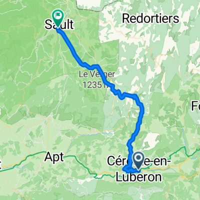 11 Cereste - Sault
- Distance
- 44.8 km
- Ascent
- 1,138 m
- Descent
- 832 m
- Location
- Céreste, Provence-Alpes-Côte d'Azur Region, France
 Etape 8 : Céreste ==> St Paul Les Durance
- Distance
- 47.1 km
- Ascent
- 405 m
- Descent
- 512 m
- Location
- Céreste, Provence-Alpes-Côte d'Azur Region, France
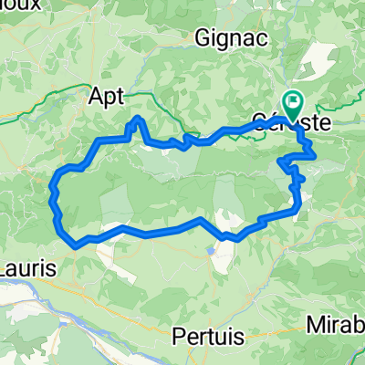 Luberon Rundweg Céreste-Saignon
- Distance
- 74.6 km
- Ascent
- 930 m
- Descent
- 929 m
- Location
- Céreste, Provence-Alpes-Côte d'Azur Region, France
 2 Cereste- Valensole
- Distance
- 66.2 km
- Ascent
- 811 m
- Descent
- 578 m
- Location
- Céreste, Provence-Alpes-Côte d'Azur Region, France
 Route in Saint-Martin-de-Castillon
- Distance
- 31.1 km
- Ascent
- 721 m
- Descent
- 655 m
- Location
- Céreste, Provence-Alpes-Côte d'Azur Region, France
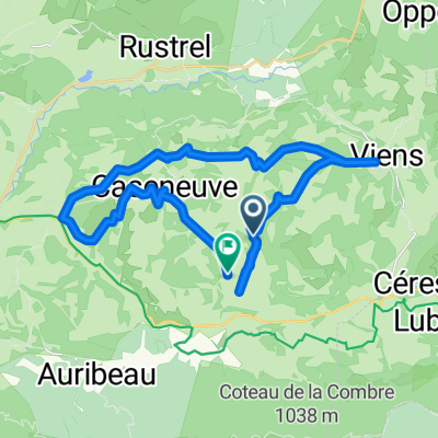
 Route in Saint-Martin-de-Castillon
- Distance
- 63.2 km
- Ascent
- 1,229 m
- Descent
- 1,229 m
- Location
- Céreste, Provence-Alpes-Côte d'Azur Region, France
 2022 carluc - reillane
- Distance
- 10.3 km
- Ascent
- 346 m
- Descent
- 27 m
- Location
- Céreste, Provence-Alpes-Côte d'Azur Region, France
Open it in the app