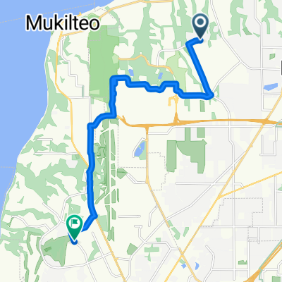
Relaxed route in Mukilteo
- 5.7 km
- 218 m
- 215 m
- Mukilteo, Washington, United States
A cycling route starting in Mukilteo, Washington, United States.
Overview
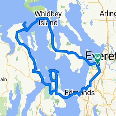
Good trip if you don't mind a bit of traffic here and there. A real mixed bag as far as shoulders / no shoulders, also. Have some Fudge in LaConner and forget all that. Stop at the Snow Goose Produce stand on Fir Island Rd. for fresh fruits and veggies, fire-baked pizza and ice cream cones too! Dodge Valley Rd. is chip-seal :( all others are fine.
created this 14 years ago
Route quality
Road
30 km
(37 %)
Quiet road
11.4 km
(14 %)
Paved
47.1 km
(58 %)
Asphalt
42.2 km
(52 %)
Paved (undefined)
4.9 km
(6 %)
Undefined
34.1 km
(42 %)
Continue with Bikemap
You would like to ride Everett to LaConner or customize it for your own trip? Here is what you can do with this Bikemap route:
Free trial for 3 days, or one-time payment. More about Bikemap Premium.
Discover more Premium features.
Get Bikemap PremiumFrom our community
Open it in the app