

Logo di Braies - Plaetzwiesenhütte
A cycling route starting in Braies, Trentino-Alto Adige, Italy.
Overview
About this route
2nd stage of the Dolomites Tour 2010
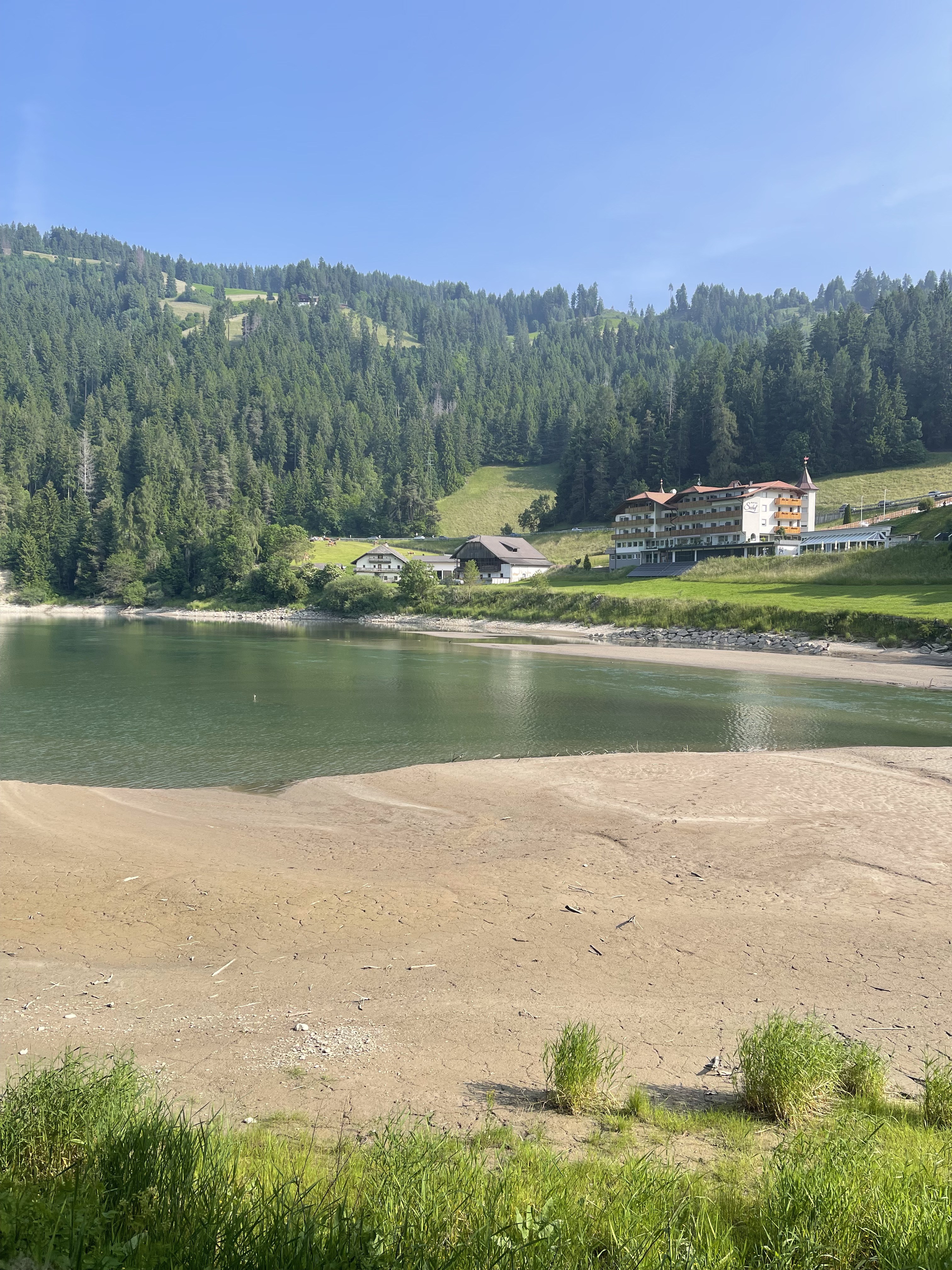
Beautiful little road that is mainly closed to normal traffic. Only the line bus 'disturbs' every half hour.
- -:--
- Duration
- 16.2 km
- Distance
- 849 m
- Ascent
- 153 m
- Descent
- ---
- Avg. speed
- ---
- Max. altitude
Route quality
Waytypes & surfaces along the route
Waytypes
Quiet road
7.6 km
(47 %)
Track
6.8 km
(42 %)
Road
1.8 km
(11 %)
Surfaces
Paved
1.5 km
(9 %)
Unpaved
6.8 km
(42 %)
Unpaved (undefined)
4.7 km
(29 %)
Gravel
2.1 km
(13 %)
Continue with Bikemap
Use, edit, or download this cycling route
You would like to ride Logo di Braies - Plaetzwiesenhütte or customize it for your own trip? Here is what you can do with this Bikemap route:
Free features
- Save this route as favorite or in collections
- Copy & plan your own version of this route
- Sync your route with Garmin or Wahoo
Premium features
Free trial for 3 days, or one-time payment. More about Bikemap Premium.
- Navigate this route on iOS & Android
- Export a GPX / KML file of this route
- Create your custom printout (try it for free)
- Download this route for offline navigation
Discover more Premium features.
Get Bikemap PremiumFrom our community
Other popular routes starting in Braies
 Dolo Tour 1. Teil Plätzwiese über Rifugio Sennes Hütte nach St. Vigil
- Distance
- 45.1 km
- Ascent
- 852 m
- Descent
- 1,673 m
- Location
- Braies, Trentino-Alto Adige, Italy
 Logo di Braies - Plaetzwiesenhütte
- Distance
- 16.2 km
- Ascent
- 849 m
- Descent
- 153 m
- Location
- Braies, Trentino-Alto Adige, Italy
 Strudelkopftour
- Distance
- 73.9 km
- Ascent
- 1,167 m
- Descent
- 1,470 m
- Location
- Braies, Trentino-Alto Adige, Italy
 Recording from 8 Gennaio 15:15
- Distance
- 3.7 km
- Ascent
- 56 m
- Descent
- 330 m
- Location
- Braies, Trentino-Alto Adige, Italy
 12-Strudelkoepfe-Schneeschuh
- Distance
- 18.5 km
- Ascent
- 836 m
- Descent
- 836 m
- Location
- Braies, Trentino-Alto Adige, Italy
 Anello Lago di Braies, Braies a Via Furcia, Valdaora
- Distance
- 26.2 km
- Ascent
- 746 m
- Descent
- 633 m
- Location
- Braies, Trentino-Alto Adige, Italy
 Szállás - Misurina
- Distance
- 54.9 km
- Ascent
- 654 m
- Descent
- 687 m
- Location
- Braies, Trentino-Alto Adige, Italy
 Da Schmieden Ferrara Frazione Braies di Dentro - Lago di Braies
- Distance
- 14.5 km
- Ascent
- 345 m
- Descent
- 348 m
- Location
- Braies, Trentino-Alto Adige, Italy
Open it in the app