

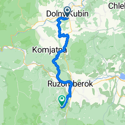
Wokół Tatr Day 2
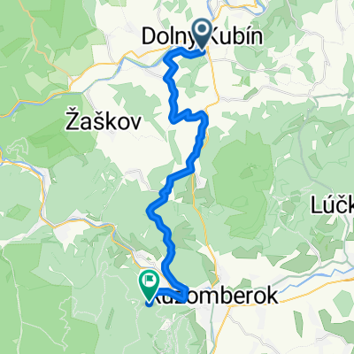
A cycling route starting in Dolný Kubín, Žilina Region, Slovakia.
Overview
About this route
- -:--
- Duration
- 93.3 km
- Distance
- 1,383 m
- Ascent
- 998 m
- Descent
- ---
- Avg. speed
- 932 m
- Max. altitude

Route quality
Waytypes & surfaces along the route
Waytypes
Road
36.4 km
(39 %)
Quiet road
20.5 km
(22 %)
Surfaces
Paved
77.4 km
(83 %)
Unpaved
7.5 km
(8 %)
Asphalt
77.4 km
(83 %)
Gravel
7.5 km
(8 %)
Undefined
8.4 km
(9 %)
Continue with Bikemap
Use, edit, or download this cycling route
You would like to ride Wokół Tatr Day 2 or customize it for your own trip? Here is what you can do with this Bikemap route:
Free features
- Save this route as favorite or in collections
- Copy & plan your own version of this route
- Split it into stages to create a multi-day tour
- Sync your route with Garmin or Wahoo
Premium features
Free trial for 3 days, or one-time payment. More about Bikemap Premium.
- Navigate this route on iOS & Android
- Export a GPX / KML file of this route
- Create your custom printout (try it for free)
- Download this route for offline navigation
Discover more Premium features.
Get Bikemap PremiumFrom our community
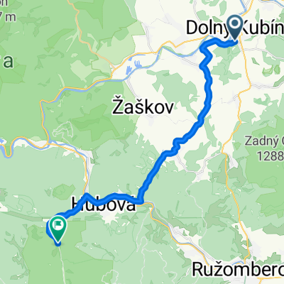
Other popular routes starting in Dolný Kubín
 Komjatná, Komjatná až Komjatná, Komjatná
- Distance
- 42.2 km
- Ascent
- 1,020 m
- Descent
- 1,018 m
- Location
- Dolný Kubín, Žilina Region, Slovakia
 D.Kubín- Orav. Poruba- Jasenová- Komjatná
- Distance
- 17.8 km
- Ascent
- 687 m
- Descent
- 554 m
- Location
- Dolný Kubín, Žilina Region, Slovakia
 Komjatná, Komjatná až Komjatná, Komjatná
- Distance
- 45.9 km
- Ascent
- 1,357 m
- Descent
- 1,360 m
- Location
- Dolný Kubín, Žilina Region, Slovakia
 D.Kubín- Jasenová- Ružomberok- Vlkolínec
- Distance
- 30.9 km
- Ascent
- 1,367 m
- Descent
- 1,147 m
- Location
- Dolný Kubín, Žilina Region, Slovakia
 D.Kubín- Or. Poruba- Komjatná- Ľubochňa
- Distance
- 22.6 km
- Ascent
- 642 m
- Descent
- 642 m
- Location
- Dolný Kubín, Žilina Region, Slovakia
 Turistika 24.2.2018 DK - Chata na Kubínskej Holi - Minčol
- Distance
- 20.3 km
- Ascent
- 990 m
- Descent
- 992 m
- Location
- Dolný Kubín, Žilina Region, Slovakia
 Oravský cyklomaratón 2009
- Distance
- 43.1 km
- Ascent
- 1,134 m
- Descent
- 987 m
- Location
- Dolný Kubín, Žilina Region, Slovakia
 DK- Or.Poruba- Jasenová- RK- Čutkovská dolina
- Distance
- 25.1 km
- Ascent
- 1,218 m
- Descent
- 1,151 m
- Location
- Dolný Kubín, Žilina Region, Slovakia
Open it in the app