sv 1
A cycling route starting in Rolle, Canton of Vaud, Switzerland.
Overview
About this route
Čím více zde napíšete informací, tím více bude užitečnější pro ostatním uživatele.<br /><br />* Průběh trasy.<br />* Co je zvláštní na této trase?<br />* Proč doporučit tuto trasu?<br />* Co se Vám zde nejvíce líbilo?<br />* Atd.
- -:--
- Duration
- 81.2 km
- Distance
- 563 m
- Ascent
- 472 m
- Descent
- ---
- Avg. speed
- ---
- Avg. speed
Route quality
Waytypes & surfaces along the route
Waytypes
Busy road
58.1 km
(72 %)
Quiet road
9.6 km
(12 %)
Surfaces
Paved
47 km
(58 %)
Unpaved
0.8 km
(<1 %)
Asphalt
44.2 km
(54 %)
Paved (undefined)
1.9 km
(2 %)
Continue with Bikemap
Use, edit, or download this cycling route
You would like to ride sv 1 or customize it for your own trip? Here is what you can do with this Bikemap route:
Free features
- Save this route as favorite or in collections
- Copy & plan your own version of this route
- Sync your route with Garmin or Wahoo
Premium features
Free trial for 3 days, or one-time payment. More about Bikemap Premium.
- Navigate this route on iOS & Android
- Export a GPX / KML file of this route
- Create your custom printout (try it for free)
- Download this route for offline navigation
Discover more Premium features.
Get Bikemap PremiumFrom our community
Other popular routes starting in Rolle
- sv 1
- Distance
- 81.2 km
- Ascent
- 563 m
- Descent
- 472 m
- Location
- Rolle, Canton of Vaud, Switzerland
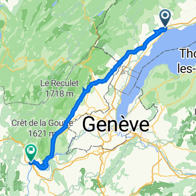
- Rolle-Marchairuz-Brassus-la Cure-Rolle
- Distance
- 80.4 km
- Ascent
- 1,262 m
- Descent
- 1,262 m
- Location
- Rolle, Canton of Vaud, Switzerland
- De Rolle à Morges
- Distance
- 35.1 km
- Ascent
- 250 m
- Descent
- 250 m
- Location
- Rolle, Canton of Vaud, Switzerland
- Gex by the back road back wet via Geneva
- Distance
- 98.7 km
- Ascent
- 707 m
- Descent
- 753 m
- Location
- Rolle, Canton of Vaud, Switzerland
- Rolle - Foncine le bas
- Distance
- 55 km
- Ascent
- 1,573 m
- Descent
- 1,172 m
- Location
- Rolle, Canton of Vaud, Switzerland
- Col du Marchairuz and Col du Mollendruz
- Distance
- 88.5 km
- Ascent
- 1,559 m
- Descent
- 1,556 m
- Location
- Rolle, Canton of Vaud, Switzerland
- Rolle-Meyrin
- Distance
- 38.9 km
- Ascent
- 130 m
- Descent
- 131 m
- Location
- Rolle, Canton of Vaud, Switzerland
- Col de la Grivine / Col de la Marchairuz
- Distance
- 76.1 km
- Ascent
- 1,306 m
- Descent
- 1,306 m
- Location
- Rolle, Canton of Vaud, Switzerland
Open it in the app