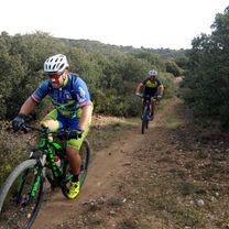
Grupeta Complutum. Sector I
- 39 km
- 220 m
- 177 m
- Alcalá de Henares, Madrid, Spain
A cycling route starting in Alcalá de Henares, Madrid, Spain.
Overview
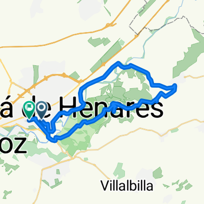
This is not exactly a route. It is an explanatory guide to connect two towns separated by a river, the Torote, which makes passage difficult for many bikers of the Corredor del Henares.
created this 14 years ago
Route highlights
Tomamos como punto de partida la estación de Renfe de la Garena. Pasamos por encima de la A-2. Una vez superada esta carretera, la tercera rotonda a la izquierda.
Cruce de caminos. Giramos a la izquierda y, poco más adelante, a la derecha.
Bifurcación. Giramos a la izquierda.
Una vez superado este escollo, giramos a la derecha. Cualquiera de los caminos que gira a la izquierda nos sirven para llegar a Torrejón.
Eso sí, una vez lleguemos a la casa en ruinas, giraremos a la derecha, ya con Torrejón de Ardoz de fondo.
Continue with Bikemap
You would like to ride Cómo unir Alcalá y Torrejón por camino y superando el río Torote or customize it for your own trip? Here is what you can do with this Bikemap route:
Free trial for 3 days, or one-time payment. More about Bikemap Premium.
Discover more Premium features.
Get Bikemap PremiumFrom our community
Open it in the app