
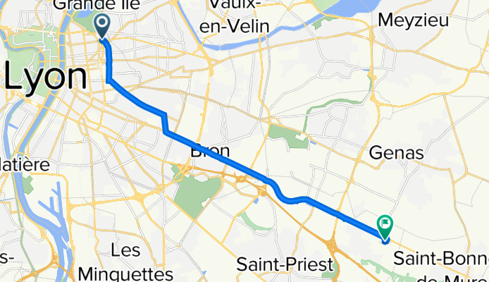
169 Boulevard de Stalingrad, Lyon à 46 Rue Ferdinand Perrier, Saint-Priest
A cycling route starting in Villeurbanne, Auvergne-Rhône-Alpes, France.
Overview
About this route
- 32 min
- Duration
- 14.1 km
- Distance
- 124 m
- Ascent
- 78 m
- Descent
- 26.5 km/h
- Avg. speed
- 220 m
- Max. altitude
Route quality
Waytypes & surfaces along the route
Waytypes
Busy road
9.4 km
(67 %)
Pedestrian area
1.3 km
(10 %)
Surfaces
Paved
12.7 km
(90 %)
Asphalt
11.9 km
(85 %)
Paving stones
0.7 km
(5 %)
Continue with Bikemap
Use, edit, or download this cycling route
You would like to ride 169 Boulevard de Stalingrad, Lyon à 46 Rue Ferdinand Perrier, Saint-Priest or customize it for your own trip? Here is what you can do with this Bikemap route:
Free features
- Save this route as favorite or in collections
- Copy & plan your own version of this route
- Sync your route with Garmin or Wahoo
Premium features
Free trial for 3 days, or one-time payment. More about Bikemap Premium.
- Navigate this route on iOS & Android
- Export a GPX / KML file of this route
- Create your custom printout (try it for free)
- Download this route for offline navigation
Discover more Premium features.
Get Bikemap PremiumFrom our community
Other popular routes starting in Villeurbanne
 Lyon-Le Mans... et plus !
- Distance
- 807 km
- Ascent
- 1,633 m
- Descent
- 1,637 m
- Location
- Villeurbanne, Auvergne-Rhône-Alpes, France
 Lyon Kurztrip mit Berg
- Distance
- 32.1 km
- Ascent
- 213 m
- Descent
- 215 m
- Location
- Villeurbanne, Auvergne-Rhône-Alpes, France
 Rue Marie Antoinette to Rue Brûlée
- Distance
- 32.3 km
- Ascent
- 157 m
- Descent
- 149 m
- Location
- Villeurbanne, Auvergne-Rhône-Alpes, France
 Aux portes de Lyon 2
- Distance
- 80.8 km
- Ascent
- 665 m
- Descent
- 660 m
- Location
- Villeurbanne, Auvergne-Rhône-Alpes, France
 Monts d'or 1
- Distance
- 59.7 km
- Ascent
- 1,074 m
- Descent
- 1,073 m
- Location
- Villeurbanne, Auvergne-Rhône-Alpes, France
 Charpennes - Mont Verdun
- Distance
- 39.5 km
- Ascent
- 880 m
- Descent
- 879 m
- Location
- Villeurbanne, Auvergne-Rhône-Alpes, France
 Lac des Eaux Bleues
- Distance
- 22.8 km
- Ascent
- 74 m
- Descent
- 73 m
- Location
- Villeurbanne, Auvergne-Rhône-Alpes, France
 De Cours Docteur Long 58, Lyon à Cours Docteur Long 58, Lyon
- Distance
- 36.5 km
- Ascent
- 263 m
- Descent
- 263 m
- Location
- Villeurbanne, Auvergne-Rhône-Alpes, France
Open it in the app