De Boulevard Guillaume-Couture à Boulevard Guillaume-Couture
- 60.5 km
- 303 m
- 279 m
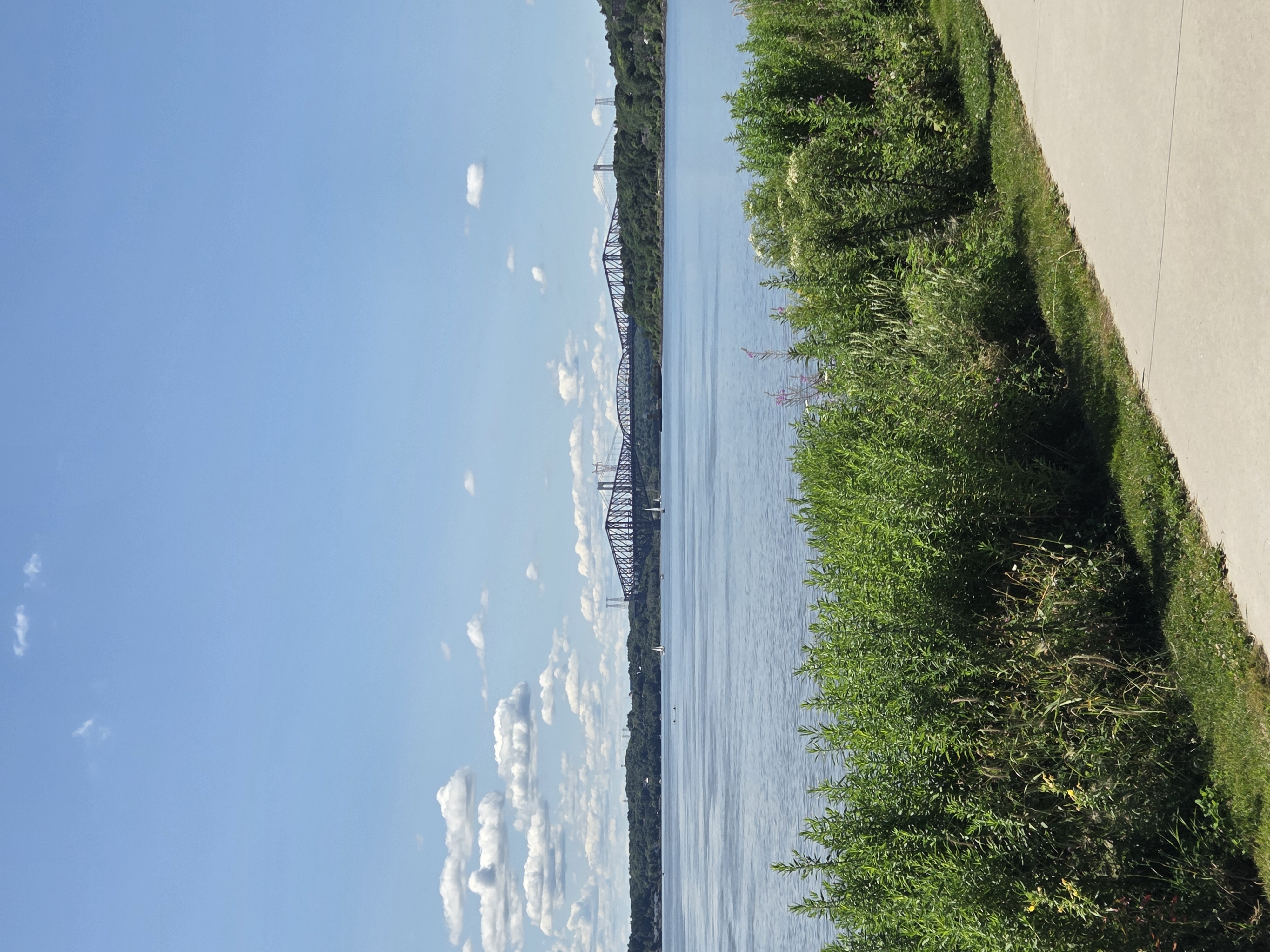
- Lévis, Quebec, Canada
A cycling route starting in Lévis, Quebec, Canada.
Overview
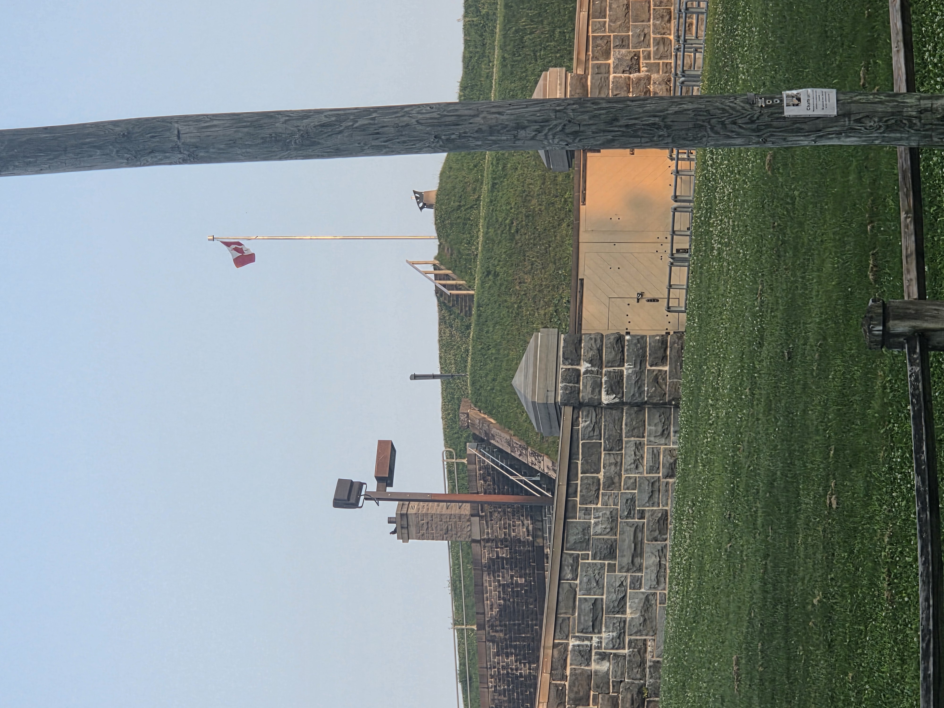
P6 parc de la Martinière
created this 3 years ago
Route quality
Road
2.1 km
(12 %)
Quiet road
0.9 km
(5 %)
Paved
14.5 km
(82 %)
Asphalt
14 km
(79 %)
Paved (undefined)
0.5 km
(3 %)
Undefined
3.2 km
(18 %)
Continue with Bikemap
You would like to ride Lévis-St-Valier or customize it for your own trip? Here is what you can do with this Bikemap route:
Free trial for 3 days, or one-time payment. More about Bikemap Premium.
Discover more Premium features.
Get Bikemap PremiumFrom our community
Open it in the app