Pojecta 1
- 15 km
- 681 m
- 680 m
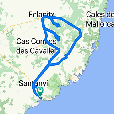
- Santanyí, Balearic Islands, Spain
A cycling route starting in Santanyí, Balearic Islands, Spain.
Overview
created this 14 years ago
Route quality
Road
35.1 km
(33 %)
Quiet road
35.1 km
(33 %)
Paved
70.2 km
(66 %)
Unpaved
1.1 km
(1 %)
Asphalt
70.2 km
(66 %)
Gravel
1.1 km
(1 %)
Undefined
35.1 km
(33 %)
Continue with Bikemap
You would like to ride Santanyí-Biniali-Algaida-Llucmajor-Santanyí or customize it for your own trip? Here is what you can do with this Bikemap route:
Free trial for 3 days, or one-time payment. More about Bikemap Premium.
Discover more Premium features.
Get Bikemap PremiumFrom our community
Open it in the app