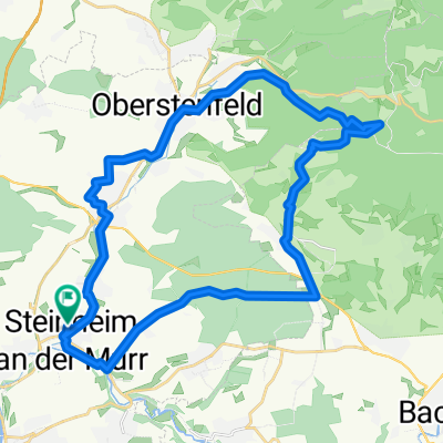
"Nur-noch-ein-Berg"-Tour :-)
- 81.3 km
- 941 m
- 878 m
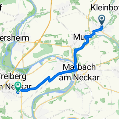
- Steinheim an der Murr, Baden-Wurttemberg, Germany
A cycling route starting in Steinheim an der Murr, Baden-Wurttemberg, Germany.
Overview
Just give it a try:
Scenic and technically challenging route. Lots of ups and downs and the beautiful climb over Löwenstein.
The title of the route is of course only clear to insiders ;-)
created this 16 years ago
Route quality
Road
17.1 km
(21 %)
Path
7.3 km
(9 %)
Paved
77.2 km
(95 %)
Unpaved
1.6 km
(2 %)
Asphalt
76.4 km
(94 %)
Paved (undefined)
0.8 km
(1 %)
Continue with Bikemap
You would like to ride "Nur-noch-ein-Berg"-Tour :-) or customize it for your own trip? Here is what you can do with this Bikemap route:
Free trial for 3 days, or one-time payment. More about Bikemap Premium.
Discover more Premium features.
Get Bikemap PremiumFrom our community
Open it in the app