Zum Brötchen holen über den Ochsenkopf
A cycling route starting in Fichtelberg, Bavaria, Germany.
Overview
About this route
Beim Zelten auf den Campingplatz Fichtelsee, zum Brötchen holen kurz über den Ochsenkopf über die BikePark Ocsenkopf nach Fleckl nach Fichtelberg und wieder hoch am Campinplatz.
Da hat das Frühstück geschmeckt!!!!!
- -:--
- Duration
- 14.5 km
- Distance
- 388 m
- Ascent
- 388 m
- Descent
- ---
- Avg. speed
- ---
- Avg. speed
Continue with Bikemap
Use, edit, or download this cycling route
You would like to ride Zum Brötchen holen über den Ochsenkopf or customize it for your own trip? Here is what you can do with this Bikemap route:
Free features
- Save this route as favorite or in collections
- Copy & plan your own version of this route
- Sync your route with Garmin or Wahoo
Premium features
Free trial for 3 days, or one-time payment. More about Bikemap Premium.
- Navigate this route on iOS & Android
- Export a GPX / KML file of this route
- Create your custom printout (try it for free)
- Download this route for offline navigation
Discover more Premium features.
Get Bikemap PremiumFrom our community
Other popular routes starting in Fichtelberg
- Zum Brötchen holen über den Ochsenkopf
- Distance
- 14.5 km
- Ascent
- 388 m
- Descent
- 388 m
- Location
- Fichtelberg, Bavaria, Germany
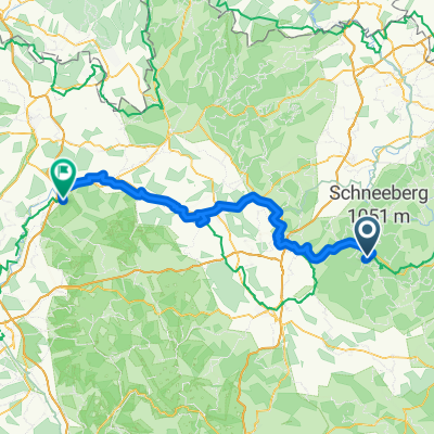
- Schöne Ochsenkopf - SchneebergTour
- Distance
- 30.5 km
- Ascent
- 663 m
- Descent
- 663 m
- Location
- Fichtelberg, Bavaria, Germany
- tag_01_fichtelgebirge
- Distance
- 74.5 km
- Ascent
- 689 m
- Descent
- 840 m
- Location
- Fichtelberg, Bavaria, Germany
- SeehausParkplatz-Karches-Haberstein-Schneeberg-Nusshardt-Seehaus-Fichtelsee-Wunsiedel-HStädt-Selb-SD
- Distance
- 60.3 km
- Ascent
- 671 m
- Descent
- 788 m
- Location
- Fichtelberg, Bavaria, Germany
- mnebike mittel
- Distance
- 38.5 km
- Ascent
- 631 m
- Descent
- 622 m
- Location
- Fichtelberg, Bavaria, Germany
- Německo 2012-3.den- WeiserMain-Radweg
- Distance
- 91.7 km
- Ascent
- 162 m
- Descent
- 771 m
- Location
- Fichtelberg, Bavaria, Germany
- 50.015° N 11.847° W nach Am Fichtelsee 1, Fichtelberg
- Distance
- 20.4 km
- Ascent
- 500 m
- Descent
- 522 m
- Location
- Fichtelberg, Bavaria, Germany
- Mainradweg
- Distance
- 548.4 km
- Ascent
- 46 m
- Descent
- 866 m
- Location
- Fichtelberg, Bavaria, Germany
Open it in the app