

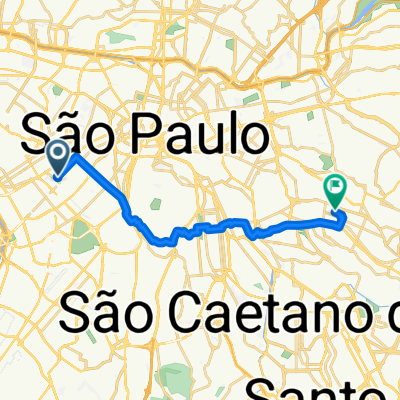
Ciclovias e Ciclofaixas
A cycling route starting in São Paulo, São Paulo, Brazil.
Overview
About this route
- 6 h 15 min
- Duration
- 76.4 km
- Distance
- 433 m
- Ascent
- 431 m
- Descent
- 12.2 km/h
- Avg. speed
- 798 m
- Max. altitude

Continue with Bikemap
Use, edit, or download this cycling route
You would like to ride Ciclovias e Ciclofaixas or customize it for your own trip? Here is what you can do with this Bikemap route:
Free features
- Save this route as favorite or in collections
- Copy & plan your own version of this route
- Sync your route with Garmin or Wahoo
Premium features
Free trial for 3 days, or one-time payment. More about Bikemap Premium.
- Navigate this route on iOS & Android
- Export a GPX / KML file of this route
- Create your custom printout (try it for free)
- Download this route for offline navigation
Discover more Premium features.
Get Bikemap PremiumFrom our community
Other popular routes starting in São Paulo
 Brasil-ParqueIbirapuera
- Distance
- 10.8 km
- Ascent
- 0 m
- Descent
- 0 m
- Location
- São Paulo, São Paulo, Brazil
 L+SND - CAMPO DE MARTE
- Distance
- 40.6 km
- Ascent
- 163 m
- Descent
- 163 m
- Location
- São Paulo, São Paulo, Brazil
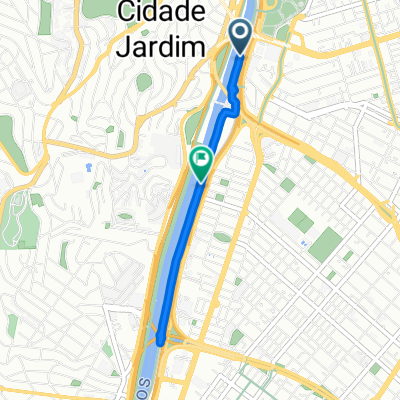 Ciclovia do Rio Pinheiros, São Paulo a Ciclovia do Rio Pinheiros, São Paulo
- Distance
- 4.5 km
- Ascent
- 28 m
- Descent
- 45 m
- Location
- São Paulo, São Paulo, Brazil
 usp via sumaré
- Distance
- 10.5 km
- Ascent
- 102 m
- Descent
- 131 m
- Location
- São Paulo, São Paulo, Brazil
 caminho de casa
- Distance
- 17.8 km
- Ascent
- 229 m
- Descent
- 222 m
- Location
- São Paulo, São Paulo, Brazil
 De Rua Turquia a Avenida Cidade Jardim
- Distance
- 42.6 km
- Ascent
- 2,046 m
- Descent
- 1,997 m
- Location
- São Paulo, São Paulo, Brazil
 Estrada da Manutenção Lokobikers (Santos)
- Distance
- 79.8 km
- Ascent
- 375 m
- Descent
- 1,128 m
- Location
- São Paulo, São Paulo, Brazil
 Paulista Brooklin
- Distance
- 8.2 km
- Ascent
- 94 m
- Descent
- 152 m
- Location
- São Paulo, São Paulo, Brazil
Open it in the app