

Stage 3 GdD 2022 -"Würzjoch - Passo Erbe"powered by Q36.5
A cycling route starting in San Giacomo, Trentino-Alto Adige, Italy.
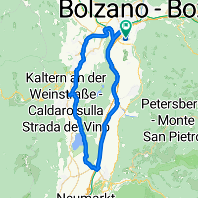
Overview
About this route
La tappa regina di questa edizione ci porta al Parco Naturale Puez-Odle fino al Passo delle Erbe a quota 1.998 metri s.l.m. È il passaggio dalla Valle di Luson alla Val Badia, meravigliosamente incastonata tra dolci prati alpini e foreste estese, ai piedi del Sass de Putia (2.875 m). Una sfida lunga 100 km e 2000 metri di dislivello. Pedaleremo in discesa nella Val Badia su strade secondarie fino a Casteldarne e a Vandoies di Sopra, dove pranzeremo. Il Giro prosegue attraverso la Val Pusteria in direzione Bressanone, Valle Isarco, fino a Bolzano.
- -:--
- Duration
- 173.9 km
- Distance
- 2,738 m
- Ascent
- 2,741 m
- Descent
- ---
- Avg. speed
- 2,000 m
- Max. altitude
Route quality
Waytypes & surfaces along the route
Waytypes
Road
36.5 km
(21 %)
Quiet road
22.6 km
(13 %)
Surfaces
Paved
135.7 km
(78 %)
Asphalt
135.7 km
(78 %)
Undefined
38.3 km
(22 %)
Continue with Bikemap
Use, edit, or download this cycling route
You would like to ride Stage 3 GdD 2022 -"Würzjoch - Passo Erbe"powered by Q36.5 or customize it for your own trip? Here is what you can do with this Bikemap route:
Free features
- Save this route as favorite or in collections
- Copy & plan your own version of this route
- Split it into stages to create a multi-day tour
- Sync your route with Garmin or Wahoo
Premium features
Free trial for 3 days, or one-time payment. More about Bikemap Premium.
- Navigate this route on iOS & Android
- Export a GPX / KML file of this route
- Create your custom printout (try it for free)
- Download this route for offline navigation
Discover more Premium features.
Get Bikemap PremiumFrom our community
Other popular routes starting in San Giacomo
 T2 Jensienrunde
- Distance
- 58.4 km
- Ascent
- 1,404 m
- Descent
- 1,401 m
- Location
- San Giacomo, Trentino-Alto Adige, Italy
 3° Tappa giro delle dolomiti
- Distance
- 138.1 km
- Ascent
- 2,111 m
- Descent
- 2,111 m
- Location
- San Giacomo, Trentino-Alto Adige, Italy
 T5 Bozen-Steinegg-Tal-Gummer-Blumau-Bozen
- Distance
- 57.1 km
- Ascent
- 1,468 m
- Descent
- 1,469 m
- Location
- San Giacomo, Trentino-Alto Adige, Italy
 Dag 2
Dag 2- Distance
- 83.6 km
- Ascent
- 1,600 m
- Descent
- 905 m
- Location
- San Giacomo, Trentino-Alto Adige, Italy
 kr neki
- Distance
- 19.6 km
- Ascent
- 41 m
- Descent
- 49 m
- Location
- San Giacomo, Trentino-Alto Adige, Italy
 Mendelpass
- Distance
- 83.6 km
- Ascent
- 2,036 m
- Descent
- 2,034 m
- Location
- San Giacomo, Trentino-Alto Adige, Italy
 hotel raffl- montiggl
- Distance
- 20.4 km
- Ascent
- 338 m
- Descent
- 99 m
- Location
- San Giacomo, Trentino-Alto Adige, Italy
 Bolzano-Kaltern-Bolzano
- Distance
- 41.7 km
- Ascent
- 226 m
- Descent
- 229 m
- Location
- San Giacomo, Trentino-Alto Adige, Italy
Open it in the app