

Zagon track days 2
A cycling route starting in Păpăuți, Covasna County, Romania.
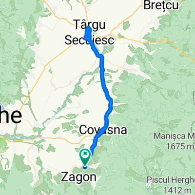
Overview
About this route
- -:--
- Duration
- 145.9 km
- Distance
- 6,163 m
- Ascent
- 5,742 m
- Descent
- ---
- Avg. speed
- 1,768 m
- Max. altitude

Route highlights
Points of interest along the route
Point of interest after 0 km
Start
Point of interest after 1.7 km
Point of interest after 7.7 km
Point of interest after 9.7 km
Point of interest after 17 km
Point of interest after 24.4 km
Point of interest after 29.9 km
Point of interest after 32.4 km
Point of interest after 33.7 km
Point of interest after 39.1 km
Point of interest after 42.3 km
Point of interest after 46.1 km
Point of interest after 50.5 km
Point of interest after 54.2 km
Point of interest after 56.4 km
Point of interest after 61.6 km
Point of interest after 64.9 km
Point of interest after 68.9 km
Point of interest after 75.8 km
Point of interest after 79 km
Point of interest after 82.3 km
Point of interest after 94.4 km
Point of interest after 98.7 km
Point of interest after 109.5 km
Point of interest after 113.3 km
Point of interest after 114.6 km
Point of interest after 118.6 km
Continue with Bikemap
Use, edit, or download this cycling route
You would like to ride Zagon track days 2 or customize it for your own trip? Here is what you can do with this Bikemap route:
Free features
- Save this route as favorite or in collections
- Copy & plan your own version of this route
- Split it into stages to create a multi-day tour
- Sync your route with Garmin or Wahoo
Premium features
Free trial for 3 days, or one-time payment. More about Bikemap Premium.
- Navigate this route on iOS & Android
- Export a GPX / KML file of this route
- Create your custom printout (try it for free)
- Download this route for offline navigation
Discover more Premium features.
Get Bikemap PremiumFrom our community
Other popular routes starting in Păpăuți
 nemere utja 2 proba
- Distance
- 101.7 km
- Ascent
- 250 m
- Descent
- 269 m
- Location
- Păpăuți, Covasna County, Romania
 Lakoca Approach
- Distance
- 39.7 km
- Ascent
- 1,315 m
- Descent
- 123 m
- Location
- Păpăuți, Covasna County, Romania
 Covasna - Gura Teghii
- Distance
- 130.8 km
- Ascent
- 2,695 m
- Descent
- 2,692 m
- Location
- Păpăuți, Covasna County, Romania
 Muntii Vrancei - Vf. Lacauti
- Distance
- 50.6 km
- Ascent
- 1,288 m
- Descent
- 1,257 m
- Location
- Păpăuți, Covasna County, Romania
 TURA PAPAUTI-COMANDAU -COVASNA
- Distance
- 63.2 km
- Ascent
- 765 m
- Descent
- 767 m
- Location
- Păpăuți, Covasna County, Romania
 TURA PAPAUTI-COMANDAU -COVASNA
- Distance
- 62.9 km
- Ascent
- 1,005 m
- Descent
- 1,009 m
- Location
- Păpăuți, Covasna County, Romania
 DONE Papauti - Targu Secuiesc - Papauti
- Distance
- 58.8 km
- Ascent
- 171 m
- Descent
- 171 m
- Location
- Păpăuți, Covasna County, Romania
 Unnamed Road, Păpăuţi to Comuna Comandău
- Distance
- 27.4 km
- Ascent
- 640 m
- Descent
- 207 m
- Location
- Păpăuți, Covasna County, Romania
Open it in the app