漫遊DAY1高雄-東港-墾丁
A cycling route starting in Kaohsiung City, Kaohsiung, Taiwan.
Overview
About this route
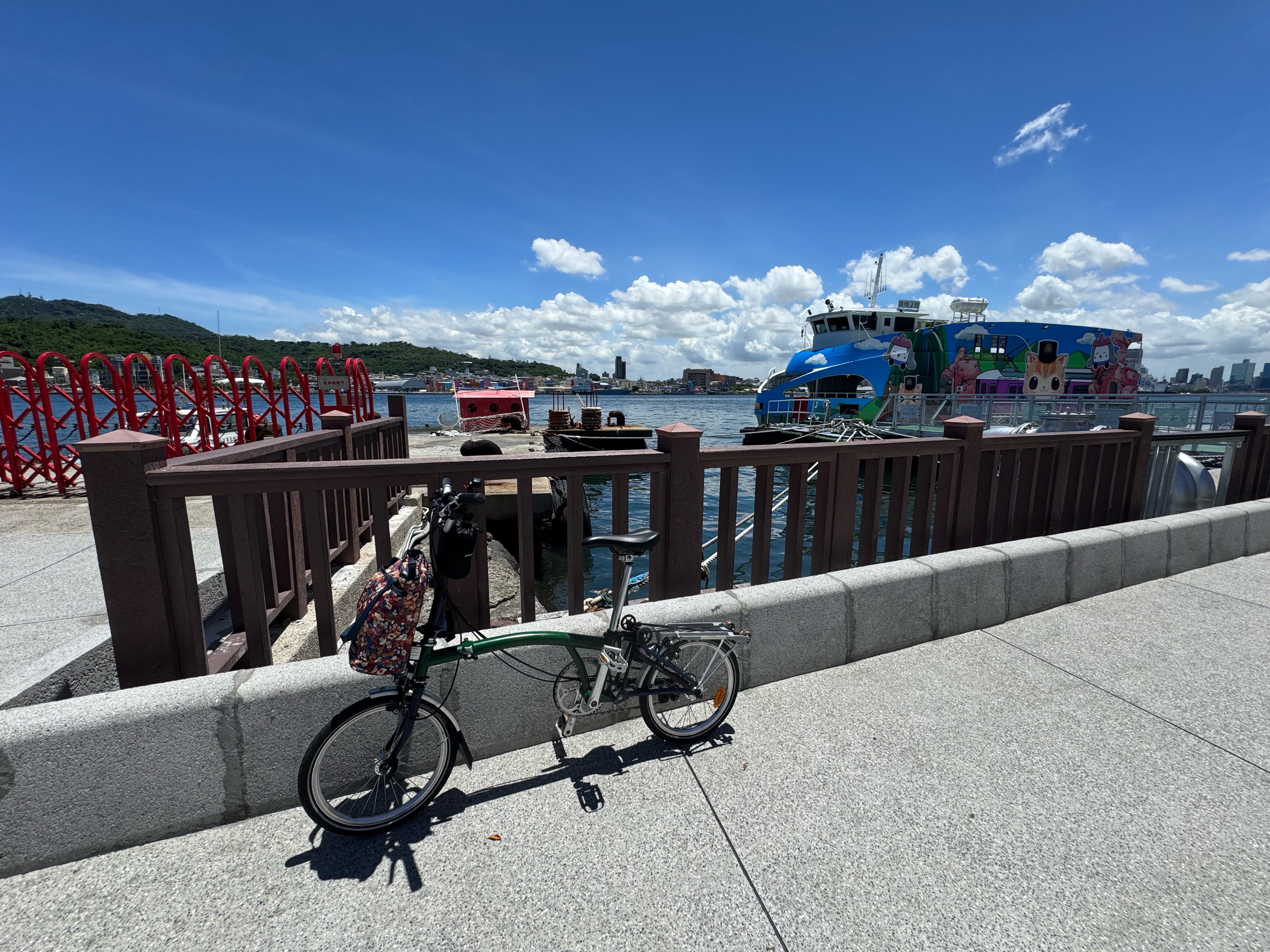
First day After getting off the high-speed train, you can take the metro to Xiaogang and save about 20K. At noon, you can eat seafood in Donggang.
- -:--
- Duration
- 112.7 km
- Distance
- 114 m
- Ascent
- 109 m
- Descent
- ---
- Avg. speed
- ---
- Max. altitude
Route highlights
Points of interest along the route
Point of interest after 38.6 km
Point of interest after 42.5 km
Continue with Bikemap
Use, edit, or download this cycling route
You would like to ride 漫遊DAY1高雄-東港-墾丁 or customize it for your own trip? Here is what you can do with this Bikemap route:
Free features
- Save this route as favorite or in collections
- Copy & plan your own version of this route
- Split it into stages to create a multi-day tour
- Sync your route with Garmin or Wahoo
Premium features
Free trial for 3 days, or one-time payment. More about Bikemap Premium.
- Navigate this route on iOS & Android
- Export a GPX / KML file of this route
- Create your custom printout (try it for free)
- Download this route for offline navigation
Discover more Premium features.
Get Bikemap PremiumFrom our community
Other popular routes starting in Kaohsiung City
20180226駁二-美術館(愛河線)- Distance
- 12.3 km
- Ascent
- 248 m
- Descent
- 240 m
- Location
- Kaohsiung City, Kaohsiung, Taiwan
ERS 屏東南州 (實騎版)- Distance
- 71.4 km
- Ascent
- 79 m
- Descent
- 77 m
- Location
- Kaohsiung City, Kaohsiung, Taiwan
柴山之行!!!- Distance
- 17.6 km
- Ascent
- 899 m
- Descent
- 869 m
- Location
- Kaohsiung City, Kaohsiung, Taiwan
LSD 2013-04-13 Monkey Hills- Distance
- 28.5 km
- Ascent
- 385 m
- Descent
- 385 m
- Location
- Kaohsiung City, Kaohsiung, Taiwan
Easy Ride Tsai-san 2013-04-17- Distance
- 34.6 km
- Ascent
- 553 m
- Descent
- 565 m
- Location
- Kaohsiung City, Kaohsiung, Taiwan
Head South Day2 - Wannian Bridge Creek Landscape 万年溪景观桥- Distance
- 19.5 km
- Ascent
- 49 m
- Descent
- 24 m
- Location
- Kaohsiung City, Kaohsiung, Taiwan
LSD 高雄-萬金 (實騎)-11-04-30- Distance
- 78.9 km
- Ascent
- 71 m
- Descent
- 77 m
- Location
- Kaohsiung City, Kaohsiung, Taiwan
前金到壽山- Distance
- 8.4 km
- Ascent
- 223 m
- Descent
- 211 m
- Location
- Kaohsiung City, Kaohsiung, Taiwan
Open it in the app


