
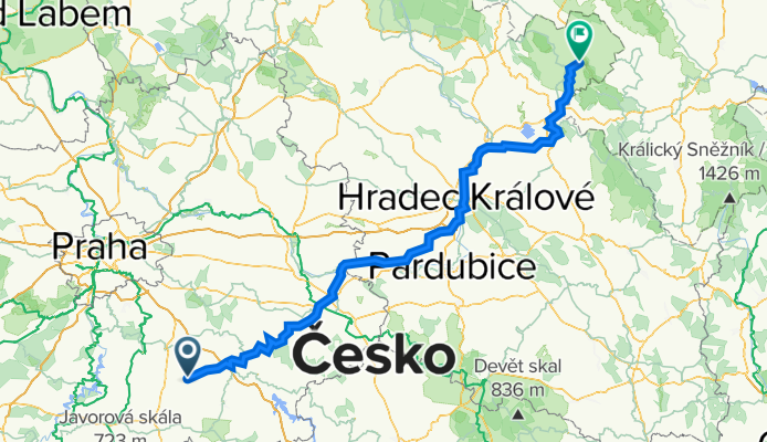
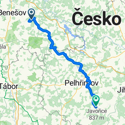
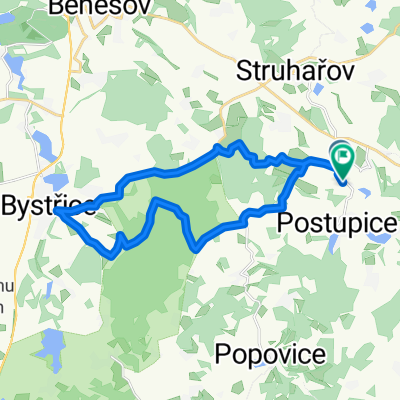
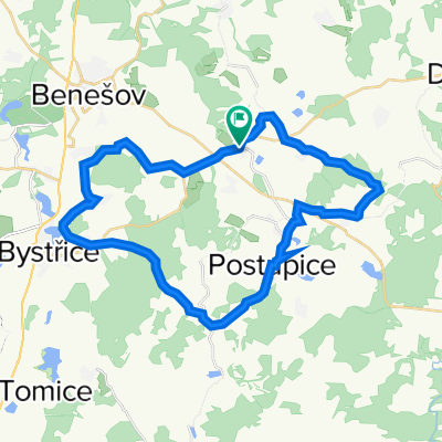
Struharov - Suchy Dul
A cycling route starting in Postupice, Central Bohemia, Czechia.
Overview
About this route
route along Labe river
ascent is just about 1100m (disp. value is mistake from gps)
- -:--
- Duration
- 190.1 km
- Distance
- 1,977 m
- Ascent
- 1,914 m
- Descent
- ---
- Avg. speed
- 565 m
- Max. altitude

Route quality
Waytypes & surfaces along the route
Waytypes
Road
55.9 km
(29 %)
Busy road
44.2 km
(23 %)
Surfaces
Paved
101.7 km
(54 %)
Unpaved
22.8 km
(12 %)
Asphalt
91 km
(48 %)
Ground
10.1 km
(5 %)
Continue with Bikemap
Use, edit, or download this cycling route
You would like to ride Struharov - Suchy Dul or customize it for your own trip? Here is what you can do with this Bikemap route:
Free features
- Save this route as favorite or in collections
- Copy & plan your own version of this route
- Split it into stages to create a multi-day tour
- Sync your route with Garmin or Wahoo
Premium features
Free trial for 3 days, or one-time payment. More about Bikemap Premium.
- Navigate this route on iOS & Android
- Export a GPX / KML file of this route
- Create your custom printout (try it for free)
- Download this route for offline navigation
Discover more Premium features.
Get Bikemap PremiumFrom our community
Other popular routes starting in Postupice
 EE2-etapa
- Distance
- 88.1 km
- Ascent
- 1,528 m
- Descent
- 1,314 m
- Location
- Postupice, Central Bohemia, Czechia
 Struhařov, Černý les, Líšno a zpět
- Distance
- 26.1 km
- Ascent
- 380 m
- Descent
- 382 m
- Location
- Postupice, Central Bohemia, Czechia
 Konopiste, Chvojen, Pozov, Struharov
- Distance
- 30.6 km
- Ascent
- 451 m
- Descent
- 453 m
- Location
- Postupice, Central Bohemia, Czechia
 Z lísku do Bystřice a zpět
- Distance
- 22.8 km
- Ascent
- 321 m
- Descent
- 314 m
- Location
- Postupice, Central Bohemia, Czechia
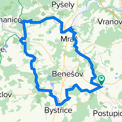 Benesov and around
- Distance
- 52.3 km
- Ascent
- 681 m
- Descent
- 681 m
- Location
- Postupice, Central Bohemia, Czechia
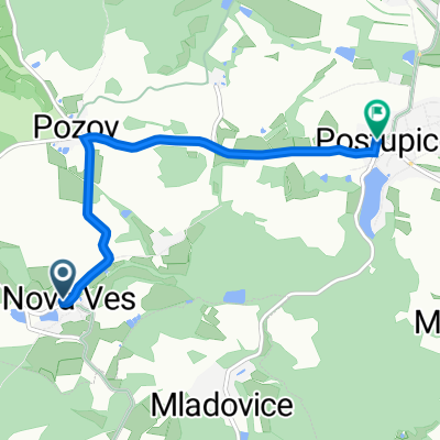 Nová Ves 13, Postupice to náměstí Jiřího Franka 88, Postupice
- Distance
- 4.2 km
- Ascent
- 80 m
- Descent
- 119 m
- Location
- Postupice, Central Bohemia, Czechia
 okolo Benešova
- Distance
- 49.1 km
- Ascent
- 669 m
- Descent
- 668 m
- Location
- Postupice, Central Bohemia, Czechia
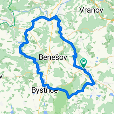
 Struharov - Cerny les - Nova Ves - Chotysany - Struharov
- Distance
- 34 km
- Ascent
- 554 m
- Descent
- 554 m
- Location
- Postupice, Central Bohemia, Czechia
Open it in the app