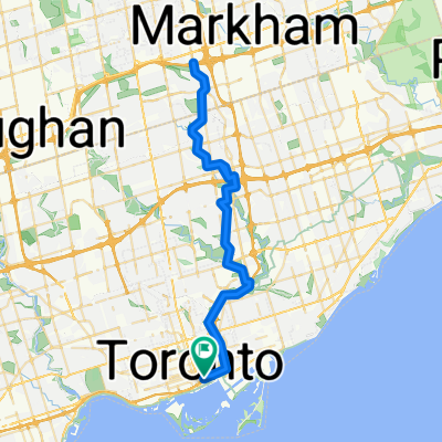
Grenville St, Toronto to St Vincent Ln, Toronto
- 30.9 km
- 58 m
- 64 m
- Toronto, Ontario, Canada
A cycling route starting in Toronto, Ontario, Canada.
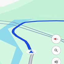
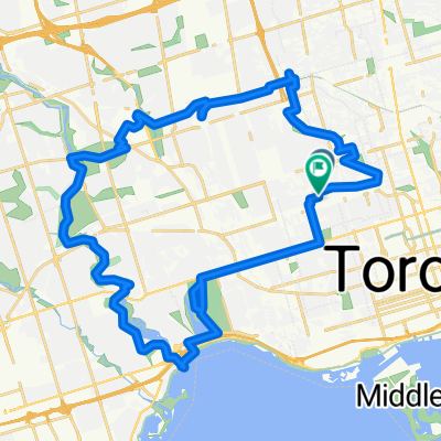
Overview
Note: Route north of 401 was auto-generated and may not provide best cycling connections. (between McNicoll Ave/MIdland Ave to Sheppard Ave E/Shaughnessy Blvd)
created this 3 years ago
Route quality
Cycleway
32.9 km
(49 %)
Road
14.1 km
(21 %)
Paved
61.1 km
(91 %)
Unpaved
0.7 km
(1 %)
Asphalt
57.1 km
(85 %)
Concrete
2.7 km
(4 %)
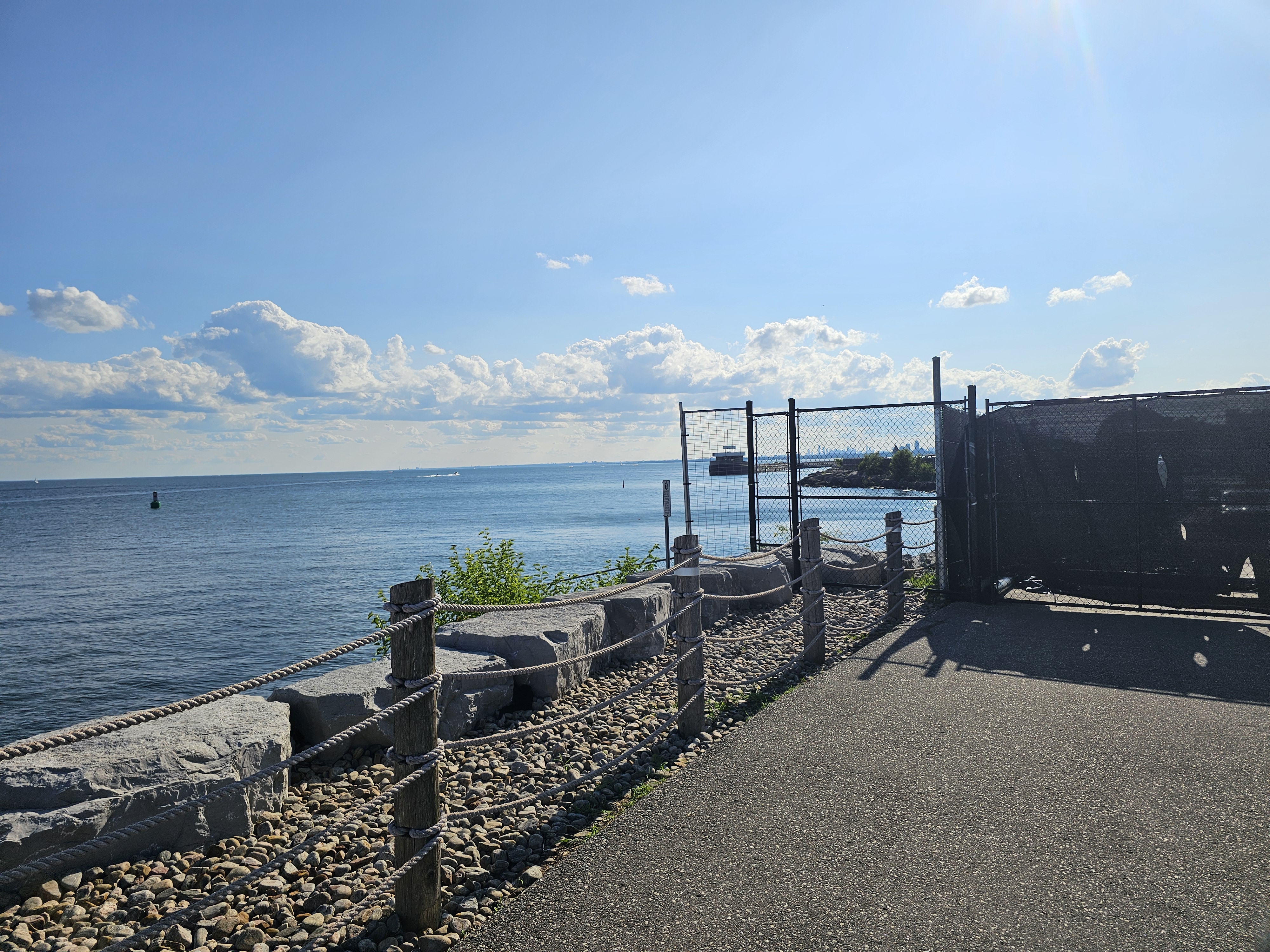
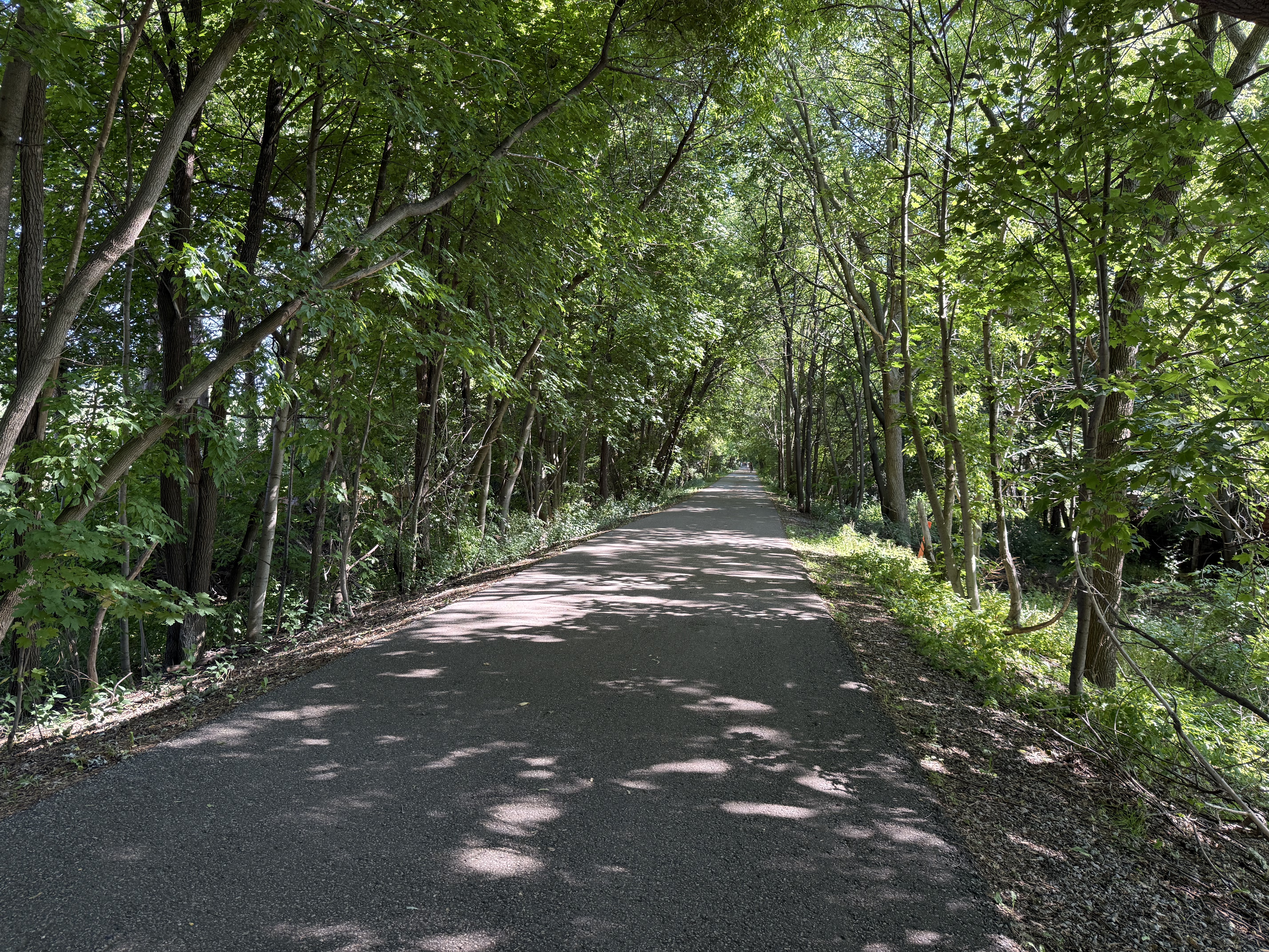
Route highlights
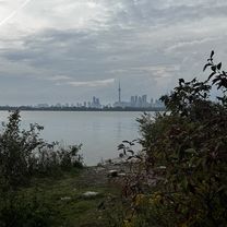
UTSC 'backroads' trail video of ride: https://gopro.com/v/lrRvXXVXOWe2V
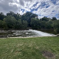
UTSC pathway to the valley - close to bikeshare and cherry blossoms. (the trail in the ravine is closed this summer)
Continue with Bikemap
You would like to ride TCBC to Highland Creek (Morrish & Ellesmere) and beyond or customize it for your own trip? Here is what you can do with this Bikemap route:
Free trial for 3 days, or one-time payment. More about Bikemap Premium.
Discover more Premium features.
Get Bikemap PremiumFrom our community
Open it in the app