Tour de France 2009, Etappe 9 - 160,5 km
- 160.6 km
- 2,369 m
- 2,428 m
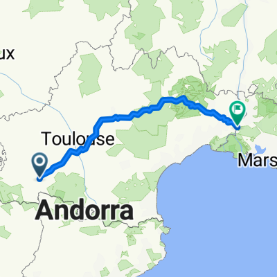
- Labarthe-Rivière, Occitanie, France
A cycling route starting in Labarthe-Rivière, Occitanie, France.
Overview
Clarac – Pointis de Rivière – Gourdan-Polignan – Seilhan – Labroquère – Valcabrère – St Bertrand de Comminges – Sarp – Mauléon-Barousse – Siradan – Esténos – Chaum – Fronsac – St Pé d'Ardet – Mont de Galié – Loures Barousse – Barbazan – Hountarède – Ardiège – Labarthe-Rivière – Valentine – Cycle Path – Pointis de Rivière – Clarac
created this 3 years ago
Route quality
Road
37.3 km
(51 %)
Quiet road
19.8 km
(27 %)
Paved
23.4 km
(32 %)
Asphalt
19.8 km
(27 %)
Paved (undefined)
3.7 km
(5 %)
Undefined
49.8 km
(68 %)
Continue with Bikemap
You would like to ride sortie07052022 or customize it for your own trip? Here is what you can do with this Bikemap route:
Free trial for 3 days, or one-time payment. More about Bikemap Premium.
Discover more Premium features.
Get Bikemap PremiumFrom our community
Open it in the app