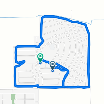
32.901° N -111.766° W to 32.898° N -111.765° W

A cycling route starting in Casa Grande, Arizona, United States.
OverviewAbout this route
2 h 34 min
Duration
38.3 km
Distance
26 m
Ascent
26 m
Descent
14.9 km/h
Avg. speed
436 m
Max. altitude
Lorde Hauscreated this 3 years ago
Route qualityWaytypes & surfaces along the route
Waytypes
  • Road

    17.3 km45 %
  • Quiet road

    8.4 km22 %
  • Access road

    5 km13 %
Surfaces

Paved

8.8 km(23 %)
  • Asphalt

    8.4 km22 %
  • Concrete

    0.4 km1 %
  • Undefined

    29.5 km77 %
Continue with BikemapUse, edit, or download this cycling route
You would like to ride 32.901° N -111.766° W to 32.898° N -111.765° W or customize it for your own trip? Here is what you can do with this Bikemap route:
Free features
Premium features

Free trial for 3 days, or one-time payment. More about Bikemap Premium.

  • Navigate this route on iOS & Android
  • Export a GPX / KML file of this route
  • Create your custom printout (try it for free)
  • Download this route for offline navigation

Discover more Premium features.

Get Bikemap Premium
From our communityOther popular routes starting in Casa Grande

Open it in the app