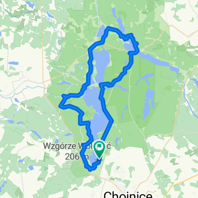
Chociński Młyn Bachorze Ch.M.
- 13.4 km
- 107 m
- 141 m
- Chojnice, Pomeranian Voivodeship, Poland
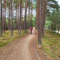
A cycling route starting in Chojnice, Pomeranian Voivodeship, Poland.
Overview
created this 3 years ago
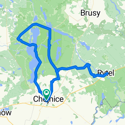
Route quality
Path
3 km
(35 %)
Quiet road
2.7 km
(32 %)
Paved
2 km
(24 %)
Asphalt
2 km
(24 %)
Undefined
6.4 km
(76 %)
Continue with Bikemap
You would like to ride Spokojny przejazd w or customize it for your own trip? Here is what you can do with this Bikemap route:
Free trial for 3 days, or one-time payment. More about Bikemap Premium.
Discover more Premium features.
Get Bikemap PremiumFrom our community
Open it in the app