

DIaRadtour 2011 Tag 2 Alternative 2
A cycling route starting in Bitche, Grand Est, France.
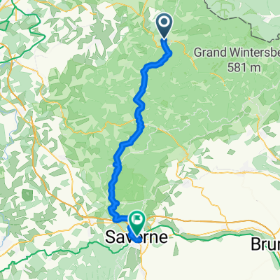
Overview
About this route
The starting point is Bitche. First, we head towards the lake (D662) and then take side roads towards Lebmber, always following the railway line. In the forest, we come across a new cycling path towards Lemberg, which we use. Upon reaching Lemberg (D37), we take the route towards Enchenberg (D36). From there, we continue towards Montbronn (D36c/D83a). In Montbronn, we pass through the residential area until we reach the D110f, which we follow to Montbronner Muehle.
From there, we continue to Metschbrueck to the D83, which we briefly follow to Saumuehle until Rahling. From there, we take side roads to Butten and cross through the fields to the D723 until Lorentzen. There, we always ride along the L'Eichel and pass Voellerdingen onto the D919, which we follow to Oemingen.
Here, we go alongside the railway line through Hutting to Kalhausen and Wittring, where we meet the Saar, which we follow until Saargemünd and further to Saarbrücken.
- -:--
- Duration
- 77.4 km
- Distance
- 224 m
- Ascent
- 345 m
- Descent
- ---
- Avg. speed
- ---
- Max. altitude

Route quality
Waytypes & surfaces along the route
Waytypes
Cycleway
17.8 km
(23 %)
Quiet road
16.3 km
(21 %)
Surfaces
Paved
63.5 km
(82 %)
Asphalt
58.9 km
(76 %)
Paved (undefined)
3.1 km
(4 %)
Continue with Bikemap
Use, edit, or download this cycling route
You would like to ride DIaRadtour 2011 Tag 2 Alternative 2 or customize it for your own trip? Here is what you can do with this Bikemap route:
Free features
- Save this route as favorite or in collections
- Copy & plan your own version of this route
- Sync your route with Garmin or Wahoo
Premium features
Free trial for 3 days, or one-time payment. More about Bikemap Premium.
- Navigate this route on iOS & Android
- Export a GPX / KML file of this route
- Create your custom printout (try it for free)
- Download this route for offline navigation
Discover more Premium features.
Get Bikemap PremiumFrom our community
Other popular routes starting in Bitche
 DIaRadtour 2011 Tag 2
- Distance
- 66.7 km
- Ascent
- 233 m
- Descent
- 354 m
- Location
- Bitche, Grand Est, France
 Frankreich 2024 Pays de Bitche
- Distance
- 82.1 km
- Ascent
- 1,184 m
- Descent
- 1,173 m
- Location
- Bitche, Grand Est, France
 Vogesenrunde Haspelschied
- Distance
- 76.7 km
- Ascent
- 544 m
- Descent
- 545 m
- Location
- Bitche, Grand Est, France
 Dambach-Jaegerthal-Reichshoffen-Zinswiller-Barenthal
- Distance
- 53.9 km
- Ascent
- 634 m
- Descent
- 669 m
- Location
- Bitche, Grand Est, France
 Lange Ausfahrt von Sturzelbronn nach Bitche
- Distance
- 89.3 km
- Ascent
- 673 m
- Descent
- 626 m
- Location
- Bitche, Grand Est, France
 Bastille Bitche to Etang Hasselfort
- Distance
- 9.1 km
- Ascent
- 175 m
- Descent
- 181 m
- Location
- Bitche, Grand Est, France
 Bitsch - Zabern
- Distance
- 56 km
- Ascent
- 1,236 m
- Descent
- 1,337 m
- Location
- Bitche, Grand Est, France
 Bitche
- Distance
- 41.9 km
- Ascent
- 1,126 m
- Descent
- 1,179 m
- Location
- Bitche, Grand Est, France
Open it in the app