Nienburg/Weser "auf den Haken" genommen
- 79.2 km
- 213 m
- 193 m
- Riede, Lower Saxony, Germany
A cycling route starting in Riede, Lower Saxony, Germany.
Overview
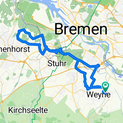
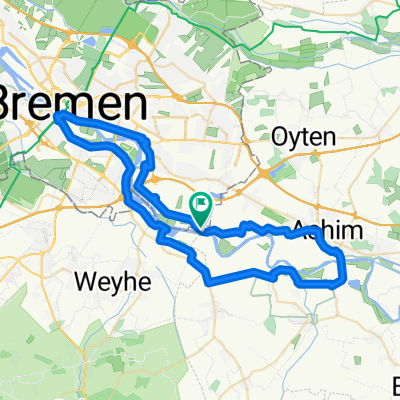
From Weyhe via Neubruchhausen - Siedenburg - Liebenau to Nienburg station
created this 3 years ago


Route quality
Quiet road
44.4 km
(56 %)
Track
15.8 km
(20 %)
Paved
57 km
(72 %)
Unpaved
4 km
(5 %)
Asphalt
54.6 km
(69 %)
Concrete
1.6 km
(2 %)
Continue with Bikemap
You would like to ride Nienburg/Weser "auf den Haken" genommen or customize it for your own trip? Here is what you can do with this Bikemap route:
Free trial for 3 days, or one-time payment. More about Bikemap Premium.
Discover more Premium features.
Get Bikemap PremiumFrom our community
Open it in the app