

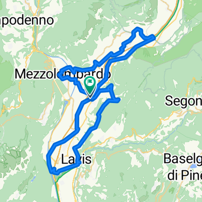
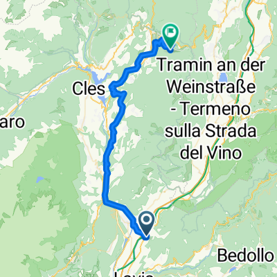
T5 San Michael a.d.Etsch nach Trient
A cycling route starting in San Michele all'Adige, Trentino-Alto Adige, Italy.
Overview
About this route
Preparation for Val suganga, especially transfer to the lake
- -:--
- Duration
- 19.3 km
- Distance
- 78 m
- Ascent
- 91 m
- Descent
- ---
- Avg. speed
- 234 m
- Max. altitude

Route quality
Waytypes & surfaces along the route
Waytypes
Cycleway
7.5 km
(39 %)
Quiet road
4.6 km
(24 %)
Surfaces
Paved
18.5 km
(96 %)
Asphalt
18.3 km
(95 %)
Wood
0.2 km
(1 %)
Undefined
0.8 km
(4 %)
Continue with Bikemap
Use, edit, or download this cycling route
You would like to ride T5 San Michael a.d.Etsch nach Trient or customize it for your own trip? Here is what you can do with this Bikemap route:
Free features
- Save this route as favorite or in collections
- Copy & plan your own version of this route
- Sync your route with Garmin or Wahoo
Premium features
Free trial for 3 days, or one-time payment. More about Bikemap Premium.
- Navigate this route on iOS & Android
- Export a GPX / KML file of this route
- Create your custom printout (try it for free)
- Download this route for offline navigation
Discover more Premium features.
Get Bikemap PremiumFrom our community
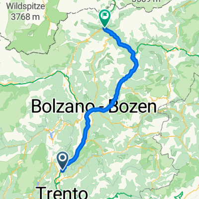
Other popular routes starting in San Michele all'Adige
 S.Michele, Egna, Pietralba
- Distance
- 84.9 km
- Ascent
- 1,291 m
- Descent
- 1,292 m
- Location
- San Michele all'Adige, Trentino-Alto Adige, Italy
 Giro del Vino 50
- Distance
- 54.7 km
- Ascent
- 793 m
- Descent
- 794 m
- Location
- San Michele all'Adige, Trentino-Alto Adige, Italy
 SS43 nach Via della Scuola
- Distance
- 43.1 km
- Ascent
- 409 m
- Descent
- 157 m
- Location
- San Michele all'Adige, Trentino-Alto Adige, Italy
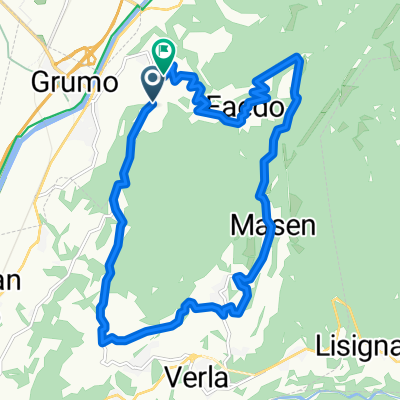 Faedo - Giovo - Masen
- Distance
- 16.2 km
- Ascent
- 694 m
- Descent
- 692 m
- Location
- San Michele all'Adige, Trentino-Alto Adige, Italy
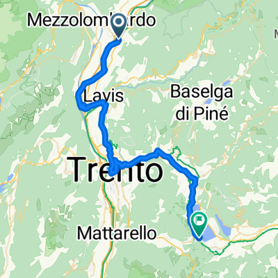
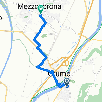 Von Leifers bis Mezzocorona
- Distance
- 4.6 km
- Ascent
- 14 m
- Descent
- 4 m
- Location
- San Michele all'Adige, Trentino-Alto Adige, Italy
 Bolzano - Weinstrasse
- Distance
- 93.1 km
- Ascent
- 417 m
- Descent
- 420 m
- Location
- San Michele all'Adige, Trentino-Alto Adige, Italy
 Von San Michele all'Adige bis Ruffrè-Mendola
- Distance
- 45.7 km
- Ascent
- 1,622 m
- Descent
- 710 m
- Location
- San Michele all'Adige, Trentino-Alto Adige, Italy
 Grumo - Vipiteno
- Distance
- 116.5 km
- Ascent
- 2,199 m
- Descent
- 1,463 m
- Location
- San Michele all'Adige, Trentino-Alto Adige, Italy
Open it in the app