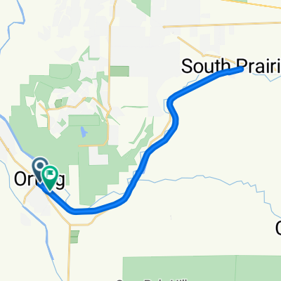
Foothills Trail, Orting to 80th Street East 13810, Puyallup
- 13.6 km
- 3 m
- 47 m
- Orting, Washington, United States
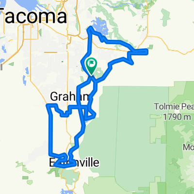
A cycling route starting in Orting, Washington, United States.
Overview
created this 3 years ago


Continue with Bikemap
You would like to ride Cent. Pk, Orting to Fairfax & back or customize it for your own trip? Here is what you can do with this Bikemap route:
Free trial for 3 days, or one-time payment. More about Bikemap Premium.
Discover more Premium features.
Get Bikemap PremiumFrom our community
Open it in the app