anterselva
- 6.5 km
- 180 m
- 44 m
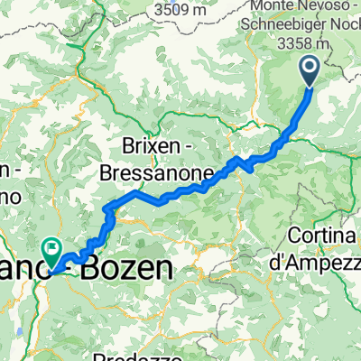
- Rasun Anterselva - Rasen-Antholz, Trentino-Alto Adige, Italy
A cycling route starting in Rasun Anterselva - Rasen-Antholz, Trentino-Alto Adige, Italy.
Overview
Starting from Rasen Antholz, you steadily and linearly ascend through a few rolling hills up to Antholzer See. Here begins the 4.5 km one-way street with traffic lights. Really only go up on green, as there is otherwise a lot of oncoming traffic. For the return trip, the descent must be strictly followed on sunny days... From the pass, there is a wonderful view of the mountains and the lake.
created this 14 years ago
Route quality
Road
24.2 km
(21 %)
Track
8.1 km
(7 %)
Paved
93.3 km
(81 %)
Unpaved
8.1 km
(7 %)
Asphalt
93.3 km
(81 %)
Unpaved (undefined)
6.9 km
(6 %)
Continue with Bikemap
You would like to ride Staller Sattel or customize it for your own trip? Here is what you can do with this Bikemap route:
Free trial for 3 days, or one-time payment. More about Bikemap Premium.
Discover more Premium features.
Get Bikemap PremiumFrom our community
Open it in the app